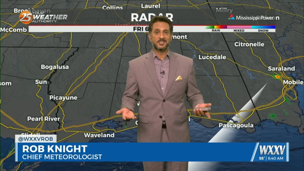
2/16 - The Chief's "Rain...Then Colder Temperatures" Friday Morning Forecast
A broad region of enhanced upper level forcing will develop over the Gulf South today and continue into Saturday. This forcing will be driven by the…
A broad region of enhanced upper level forcing will develop over the Gulf South today and continue into Saturday. This forcing will be driven by the…
Cold front has cleared pretty much all land areas in Louisiana and Mississippi and continues to push eastward through the coastal waters. A broad band…
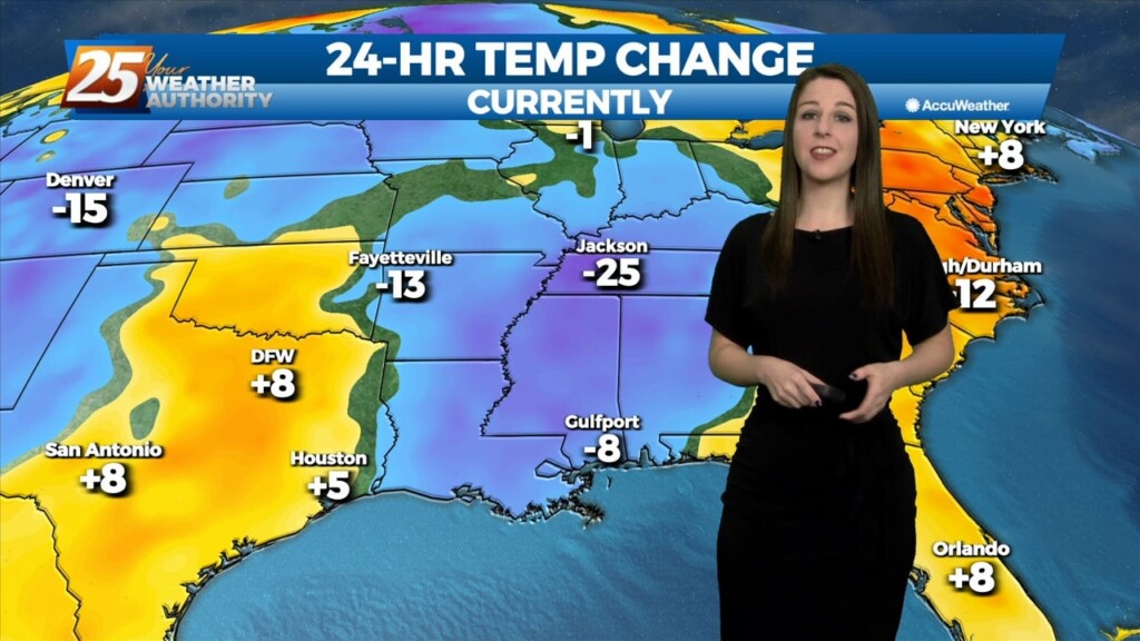
We've officially had a cold front make it's way through our area and can expect colder and drier conditions behind the front for a brief period of time. Main…
We've officially had a cold front make it's way through our area and can expect colder and drier conditions behind the front for a brief period of time.…
The center of the high will pass to our north on Saturday but the ridge axis will move overhead. The high will continue to progress eastward through the…
As far as threat timing is concerned, the tornado threat peaks this afternoon ahead of the cold front when SRH and surface-based instability is maximized while with…
Upper low and trough continue to lift northeastward today. With deep layer flow mostly parallel to the surface frontal boundary, expect it to remain stalled near the mouth of…
Upper low and trough continue to lift northeastward today. With deep layer flow mostly parallel to the surface frontal boundary, expect it to remain stalled near the mouth of…
Cold front has cleared the CWA and continues southward into the Gulf of Mexico. Post frontal surface ridge will be building in today as well as Friday. This will…
As the frontal system moves offshore, strong high pressure will dominate the upper level pattern. Strong northerly flow will help to advect cold air and dry air into the…
As the frontal system moves offshore, strong high pressure will dominate the upper level pattern. Strong northerly flow will help to advect cold air and dry air into the…
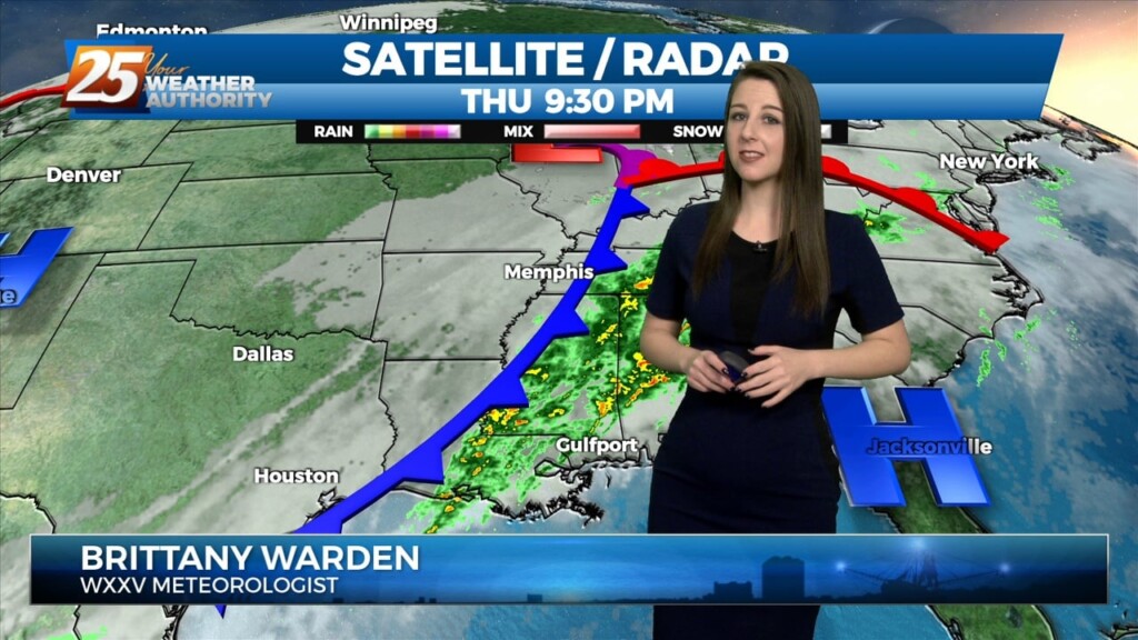
Much nicer day today. Sunny skies dominated the region behind last nights cold front. The cold front at 21z was located from the SC coast southwest through…
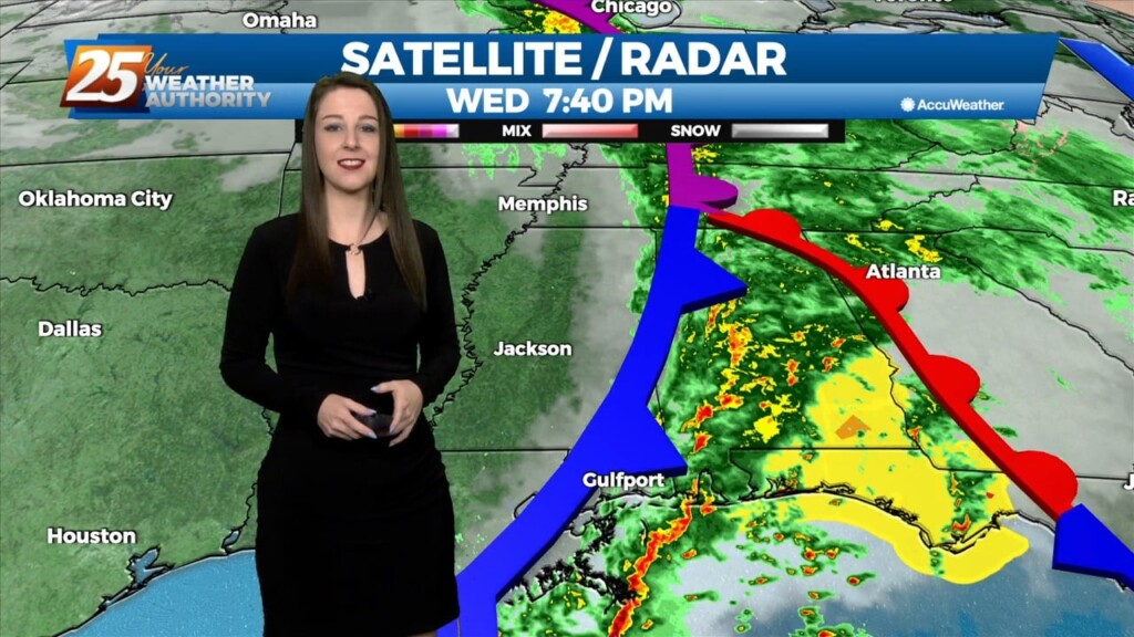
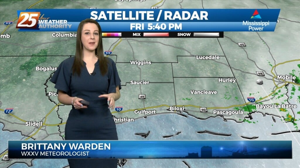
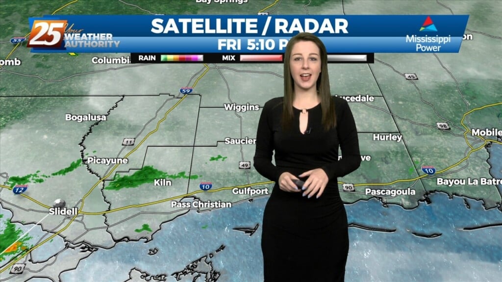
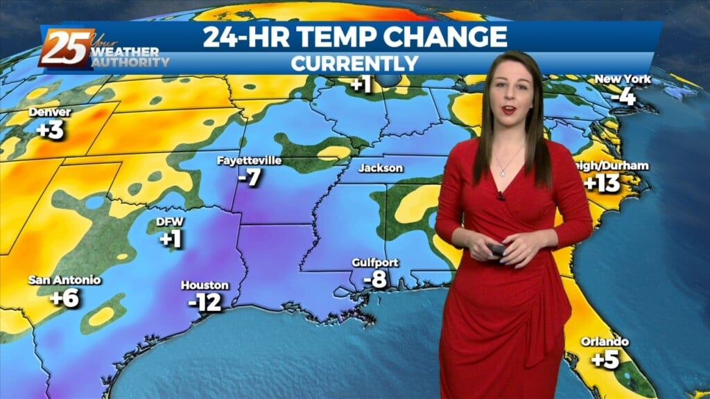
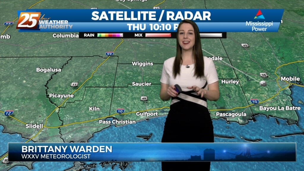
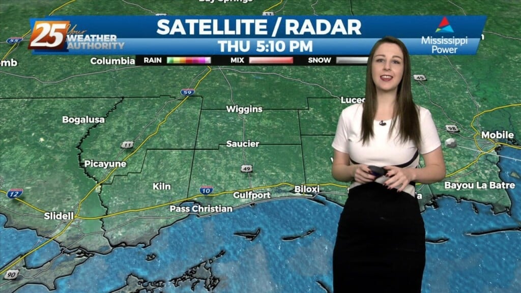
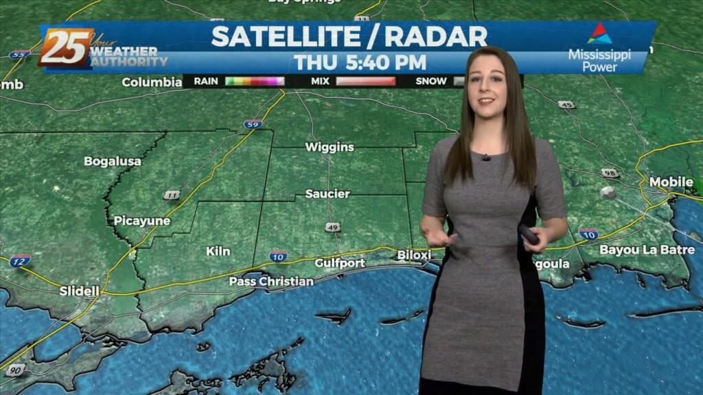
As we head into the latter part of our evening, we're finally seeing clearing conditions behind a dynamic and intense cold front that slowly pushed through our area throughout…
Zonal flow will continue to dominate the upper level pattern tonight. Southerly surface winds will continue to enhance warmer, moist air advecting into the area. Rain chances…