8/17 - Rob Knight's Monday Morning/Workweek Forecast
A mild start this morning with a rare summer cold front over the area...
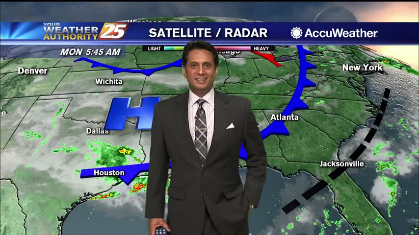
A mild start this morning with a rare summer cold front over the area...
A weak cold front overhead will provide for less humid air through the latter part of the work week as the mid/upper level flow from the NW will suppress activity. It is possible daytime heating could pop an isolated shower…
Drier air is finally on the way, but until it really takes hold it'll still be raining a little longer.
Scattered showers continue in South MS, but these wet, hot, and muggy days are almost over.
A warm and humid start with areas of patchy fog...
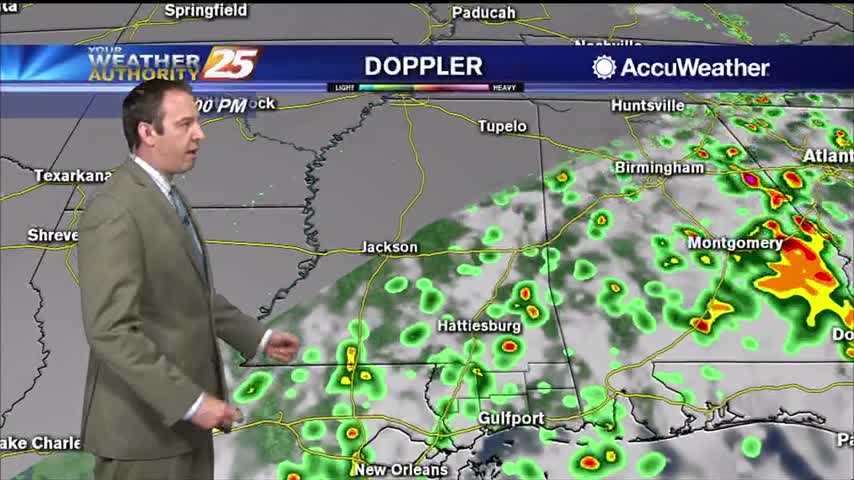
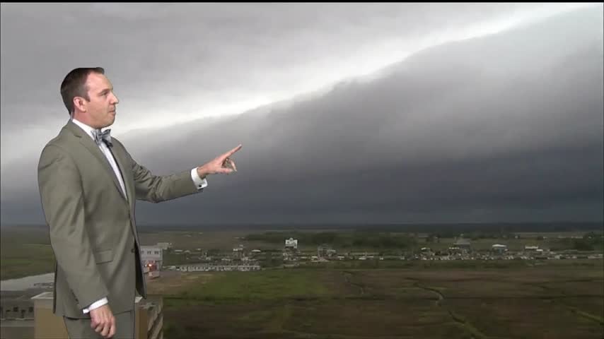
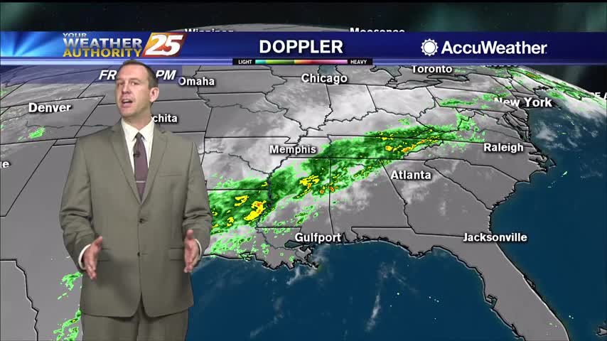
Isolated showers & t-storms continue to develop along the frontal boundary...
Today was one of the hottest we've seen so far, but some slight relief is on the way.
Much hotter today, but some slight relief is on the way as a front moves through.
Cold front brought strong storms early this morning, but is now bringing much cooler and eventually much drier air into South MS.

Had a stormy start to the day, but cooler drier air will slowly move in for the rest of the week.
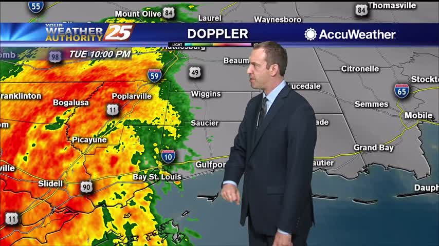
A small convective system brought a few thunderstorms before midnight, but we'll see the strongest activity with this frontal system move in tomorrow morning.
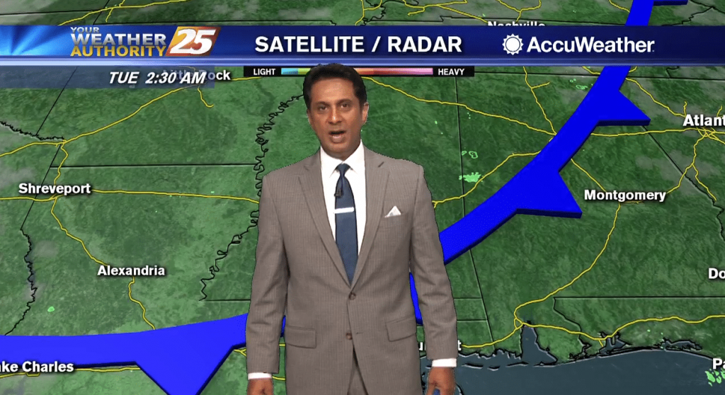
After a bumpy morning, the cold front will clear the area this afternoon...

A much warmer start as the return flow has begun in advance of an approaching cold front...
Still on the warm side today, but cooler, drier air will slowly filter in over the next few days.
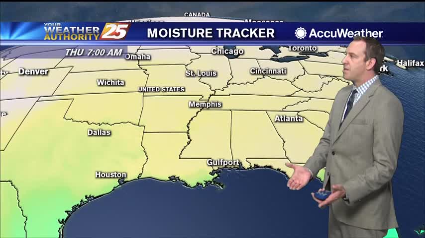
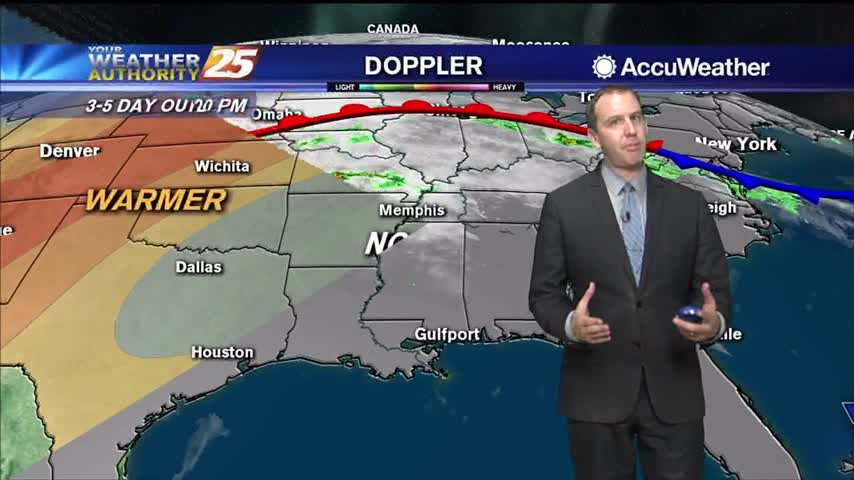
Dry conditions expected through Friday then the return flow will begin to bring the humidity and warmth back to the area. Saturday through Tuesday: a relatively strong late season cold front moves out of Canada Friday but quickly shunts eastward…
A cold front brought active, even severe weather to the South MS area, but now cooler and drier air is rushing in.
After a wet, stormy start to the day, skies are beginning to clear across South Mississippi. Warm temperatures will continue through the middle of the afternoon, then much cooler air moves in with the passage of a cold front. It…
After clearing skies yesterday afternoon, clouds have returned to the region...
Today's high temperature barely broke the record set in 2012, but it'll be even warmer tomorrow.
A front will move through by lunchtime tomorrow, but we won't see much change. The next front will be a different story.

Skies have cleared a bit, but will increase as a weak cold front moves through tonight. Expect some lower humidity, but not much else....
We'll see some hot afternoons ahead as warm, moist air piles up ahead of a front, but we'll see some slightly cooler and drier days ahead...slightly.
We've seen weeks of similar cloudy, humid days, but changes are finally on the horizon.
High-pressure currently settling in over the area this morning will keep things cool and dry. Tonight will bring very cold temperatures in the mid-30s, before a gentle warming trend begins as the weekend approaches. Return flow will help bring a…