3/29 - Brittany's "Chilly" Wednesday Night Forecast
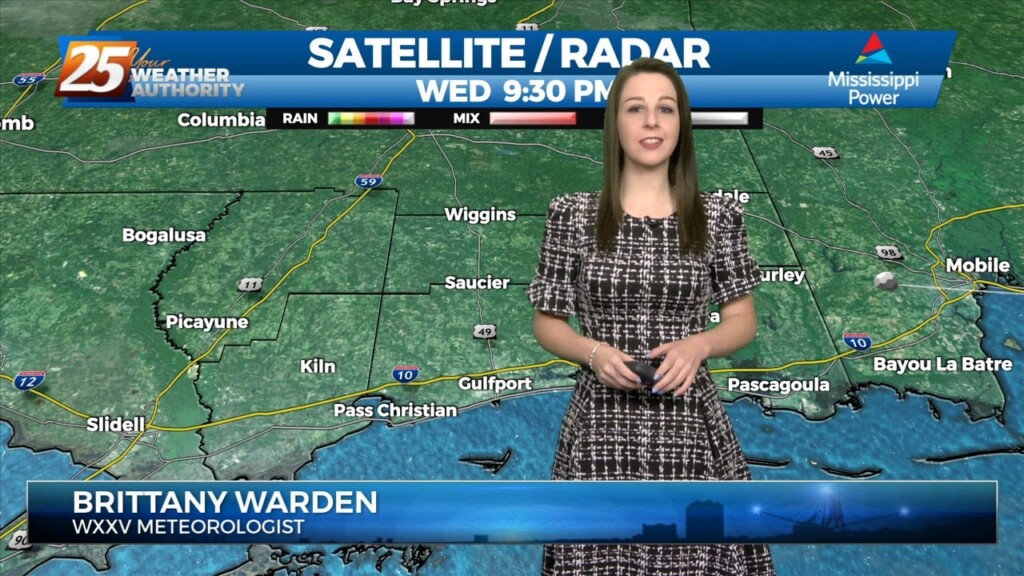
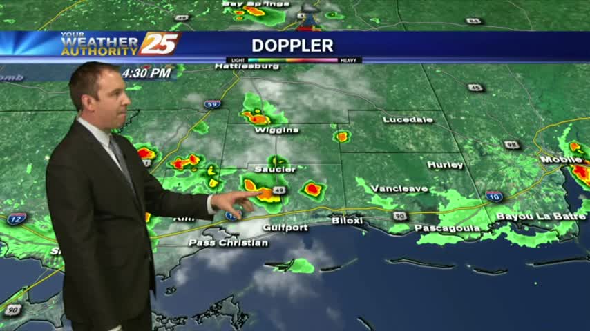
Starting things out this evening glancing at radar illustrates echoes advancing ESE across portions of the CWA. Observations are far and few between reporting -RA but some of this…
Starting things out this evening glancing at radar illustrates echoes advancing ESE across portions of the CWA. Observations are far and few between reporting -RA but some of this…
With high pressure to our east, moisture recovery continues as evidenced by dewpoints now approaching or exceeding 60 degrees in most places across the forecast area. Mostly…
Surface high pressure and an upper level ridge are sliding to the east primarily bringing a shift in wind direction through southeasterly and ending up southerly and…
Surface high pressure and an upper level ridge dominate the weather for the next couple days. This results in cool, dry air bringing some relief to the warm trend…
Cold front has cleared the CWA and continues southward into the Gulf of Mexico. Post frontal surface ridge will be building in today as well as Friday. This will…
Dry air remains in place, but we'll see rapid changes to that and even potential thunderstorms moving in tomorrow.
With another day of record breaking temperatures behind us we'll see some slight cooling through the rest of the week, but only into the upper 80s....