4/7 - Rob Martin's "Chilly Nights/Splendid Days” UPDATED Thursday Night Forecast
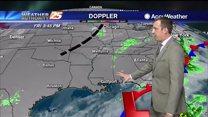
A sustained north to northwesterly flow will continue to reinforce surges of cool, dry air into the region over the next 24 hours.This mean several…
A sustained north to northwesterly flow will continue to reinforce surges of cool, dry air into the region over the next 24 hours.This mean several…
A chilly start to the day with temperatures in the upper 40s/low 50s...

A few mid/upper level clouds linger with winds gusting into the 20 mph range...
Warmer temperatures heading into this afternoon prior to a dry front approaching the area...
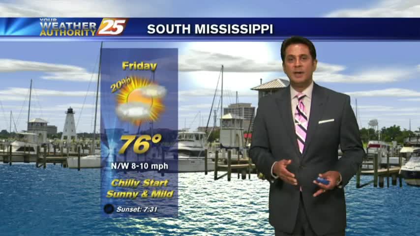
Sunny and cool Friday afternoon...
Drier air is moving in quickly, but it'll still be misty for a few more hours ahead of a gorgeous weekend.
A chilly stat with a few clouds moving into the area along with another cold front...
The cold front is now east with a weak boundary moving through the area, along with areas of patchy fog...
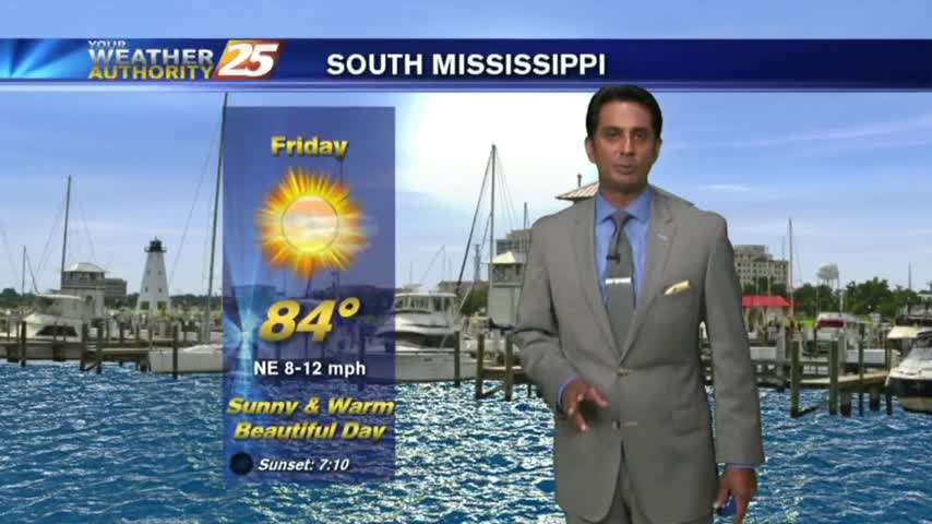
After a BEAUTIFUL start to the day, your Friday afternoon will bring sunny and warm conditions with VERY LOW humidity...
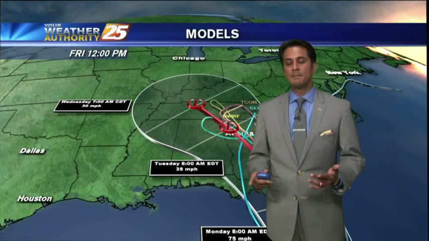
As all eyes continue to focus on the tropics and MAJOR HURRICANE IRMA, it's a BEAUTIFUL start to the day under clear skies and cool temps...
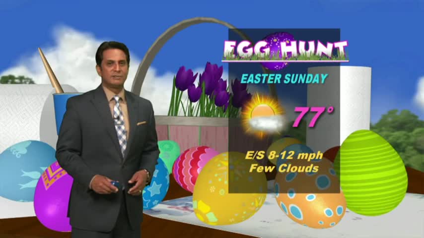
The beautiful weather will continue into the weekend as high-pressure to our north continues to shape our forecast...
It's an ABSOLUTELY beautiful start heading into the weekend. In the wake of a cold front...cooler and drier continues to move into the gulf south...
It's a cool & dry start to the day in the wake of a cold front which moved through the area last night...
A cool & drier start as the cold front from yesterday continues to move east...
A cold start with temps in the upper 30s...will warm nicely under clear skies.

A warmer start with areas of patch fog...

A cool...but warmer start as high-pressure begins to warm temperatures...