Hot and dry weekend ahead
Meteorologist Sam Lucey has a look at the forecast for south Mississippi
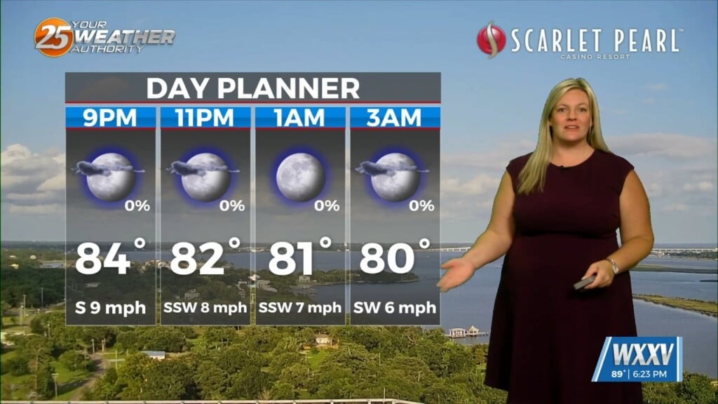
Tonight will stay mostly clear with a warm low around 78 degrees. Expect sunny skies on Saturday with a high near 91, followed by another mild night in the upper 70s.
The warming trend continues Sunday and Monday as afternoon highs reach the lower 90s, peaking around 94 degrees on Monday. With the combination of heat and Gulf humidity, it will feel even hotter during the afternoon hours.
Heat exhaustion can cause heavy sweating, dizziness, weakness, headache, nausea, muscle cramps, and cool, clammy skin. If symptoms worsen to confusion, fainting, or hot, dry skin, call 911 immediately—those are signs of heat stroke.
Be sure to stay hydrated, take breaks if you’re spending time outdoors, and never leave children or pets in parked vehicles.
Rain chances remain very limited through Monday, making for a great weekend to enjoy outdoor plans. By Tuesday, however, a more typical summertime pattern returns with scattered afternoon showers and thunderstorms. Those daily storm chances continue through the end of the week, bringing occasional downpours, lightning, and a little relief from the heat.
Overall, expect a hot, mostly dry weekend followed by a return to scattered afternoon storms next week.