7/26 - Rob's "Dreary & Wet" Forecast
Isolated activity this morning has increased along the coastal counties...moderate/heavy rainfall will continue through this evening...

Isolated activity this morning has increased along the coastal counties...moderate/heavy rainfall will continue through this evening...
There was a rainbow or two around the Gulf Coast today due to the large amount of very isolated showers and t-storms and the abundance of blue sky and sunshine we had. The rain will continue into the evening and…
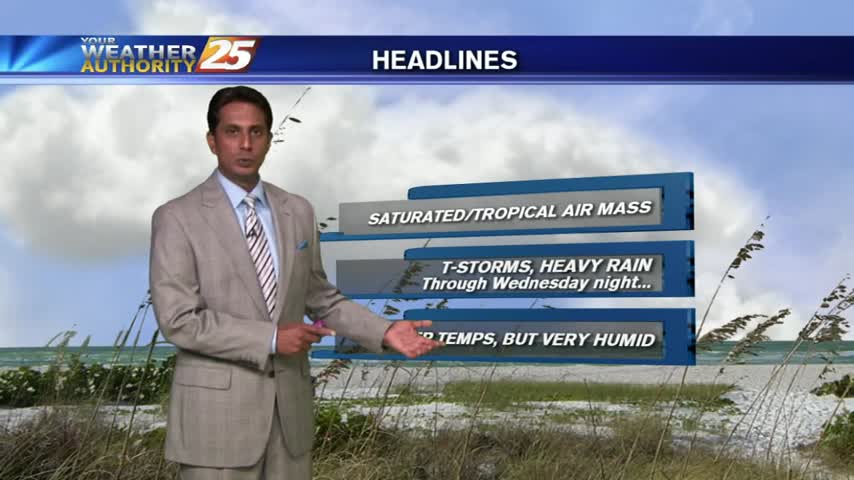
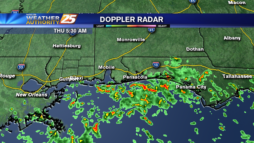
Showers and t-storms moving in from the northern Gulf to kick-off your morning commute...
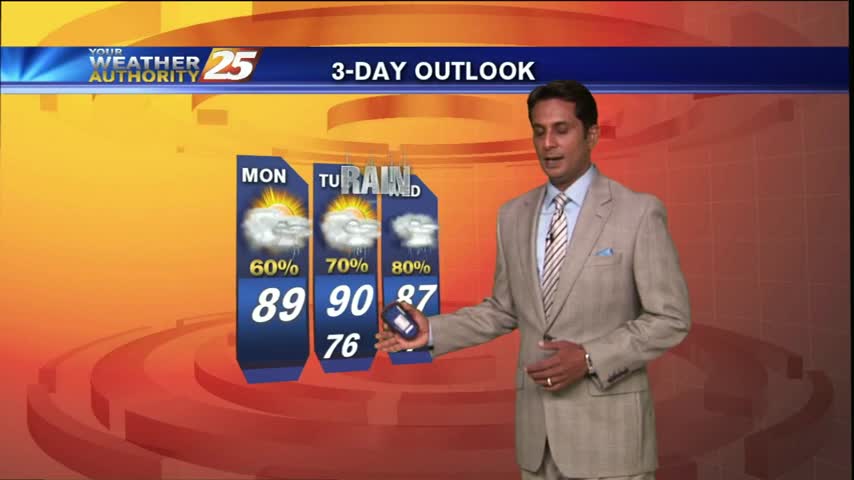
Early morning activity began to dissipate...but flaring back up with daytime heating.
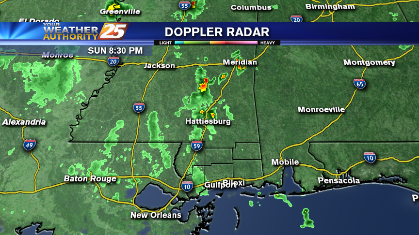
Rain affected the area earlier this evening and more could be on the way overnight and into the middle of the upcoming week.
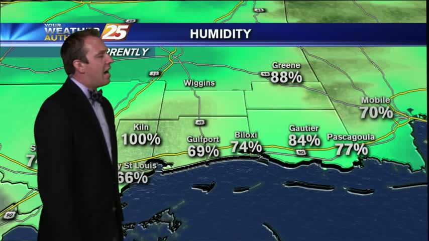
Started off today with loud t-storms moving through the area, but the stormy Friday finally gave way to a fairly decent evening. We'll see gradual clearing through the night and into the early morning hours, ending with mostly clear skies…

A HOT & STEAMY day as we head into the weekend, with showers and t-storms continuing...

After a few overnight T-Storms, mostly cloudy skies with humid conditions to kick-off your Friday.
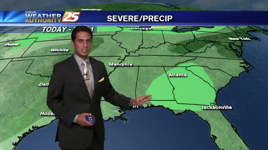
It's a warm and very humid start, along with partly cloudy skies...
Rain? Not much. Heat? Yes, plenty? Relief from it all? Possibly! Find out in tonight's forecast with Meteorologist Steve Taylor.
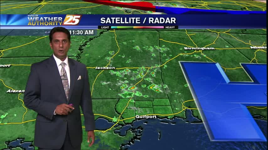
High-pressure continue to suppress the atmosphere, providing partly cloudy skies and HOT conditions...
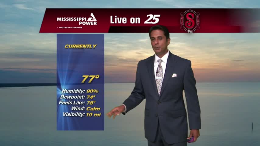
It's a fairly dry morning with partly clouds skies and temps in the mid/upper 70s...
We had a few showers and sprinkles moving through the area today, but overall it was a very dry Tuesday afternoon. We'll see another cool one tonight, low near 77, with light winds from the South and mostly clear skies.…
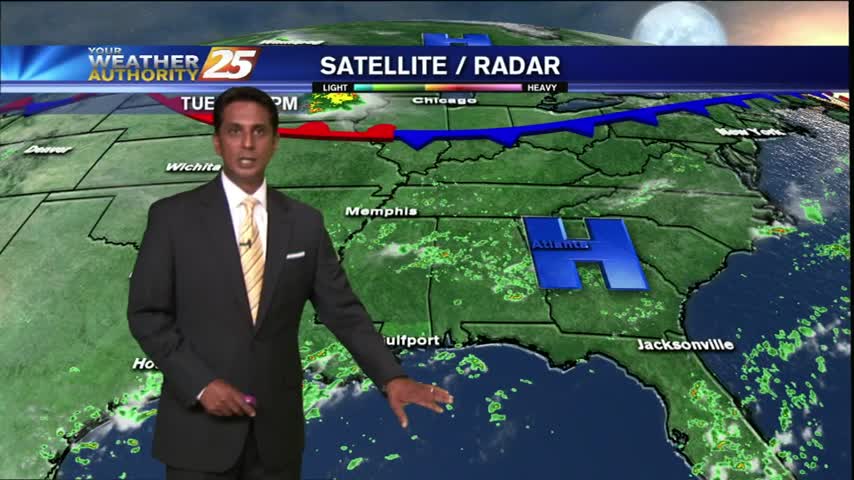
After a sunny and warm start, showers in the northern gulf/sound are beginning to impede into the coastal counties...
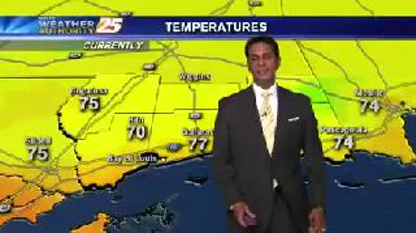
A drier start this morning with showers over the NW'tern Gulf of Mexico...
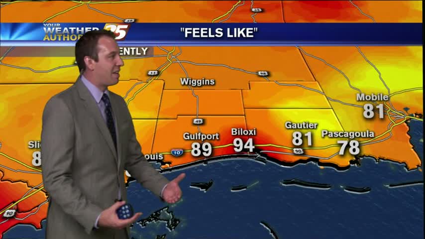
Not much has changed from the earlier forecast so I'll keep this brief. Tonight will be warm and humid with a low near 77 and light winds from the South. Tomorrow will be very similar to today, with an afternoon…
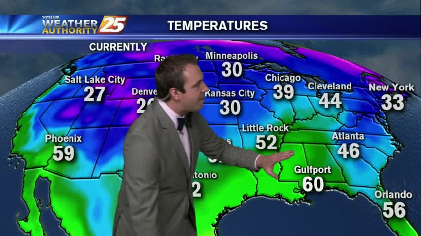
A cold front is slowly approaching South Mississippi from the West and will begin impacting our weather as early as tomorrow (Tuesday) morning. There is a marginal chance of these storms becoming severe, but we'll more likely see steady showers…
There were a few localized showers and thunderstorms today, but overall it was a much drier Monday and we're expecting a drier week as well. Don't get me wrong though, we'll still see showers in the afternoon, but like today…
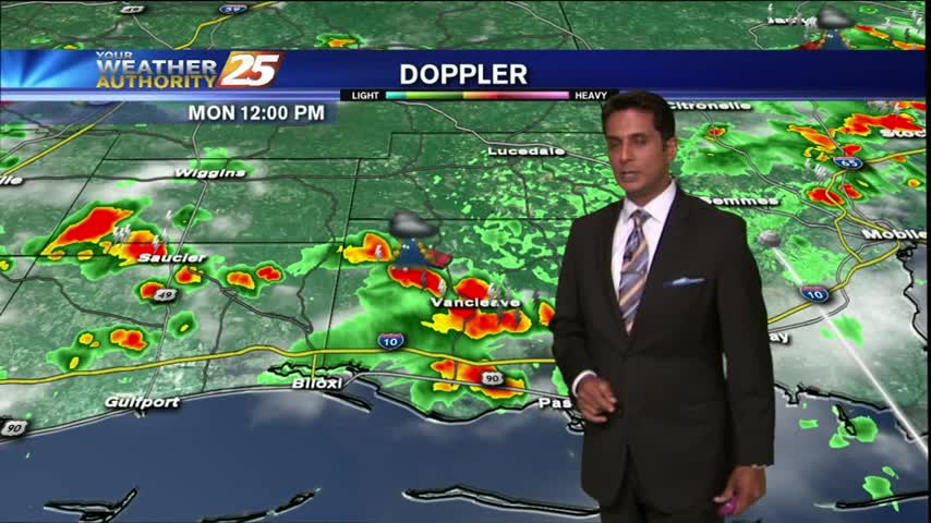
After a warm and humid start, showers developed earlier...now becoming t-storms with daytime heating...
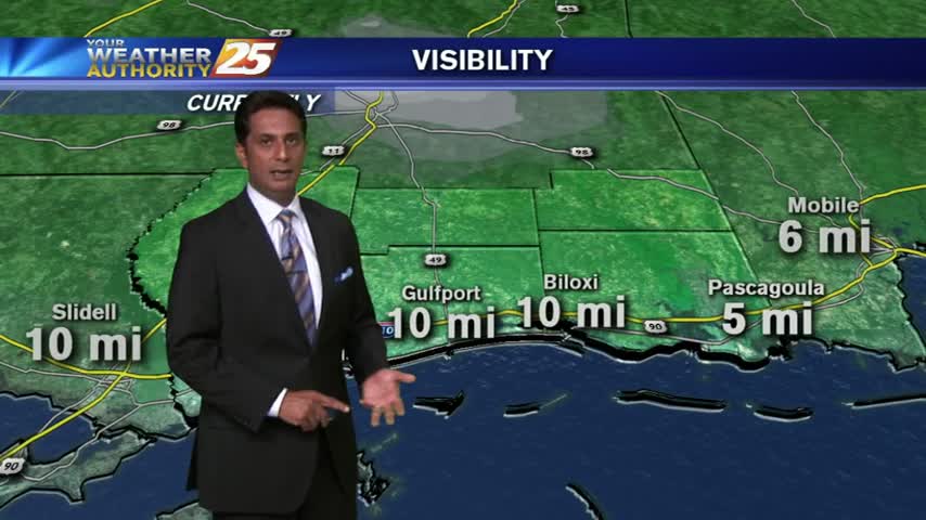
A humid start with isolated showers moving in from the sound has brought areas of fog...

Hot weather will be in-residence this week from one end of the Coast to the other. Prepare yourself for what could be the hottest week of the year!
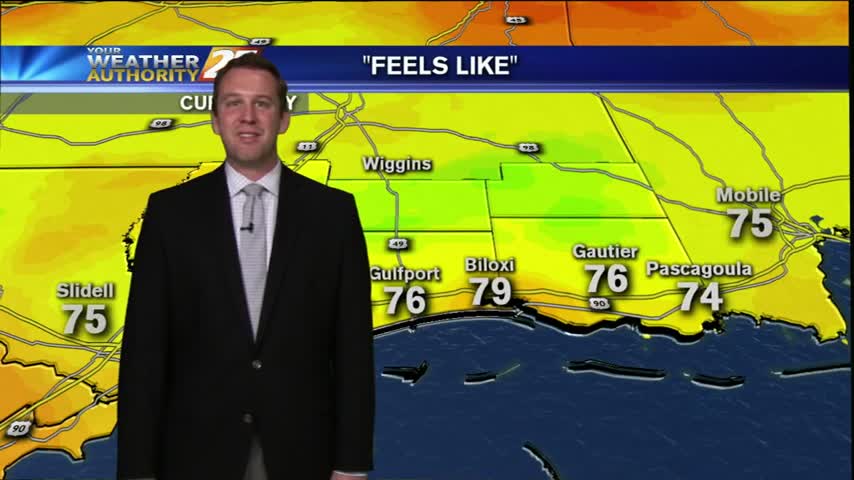
The last few days have been very similar, we're seeing drier mornings giving way to rainy/stormy afternoons, and Friday so far has been no different. Overall, it was a very cloudy day, with temperatures not even reaching 87 along the…
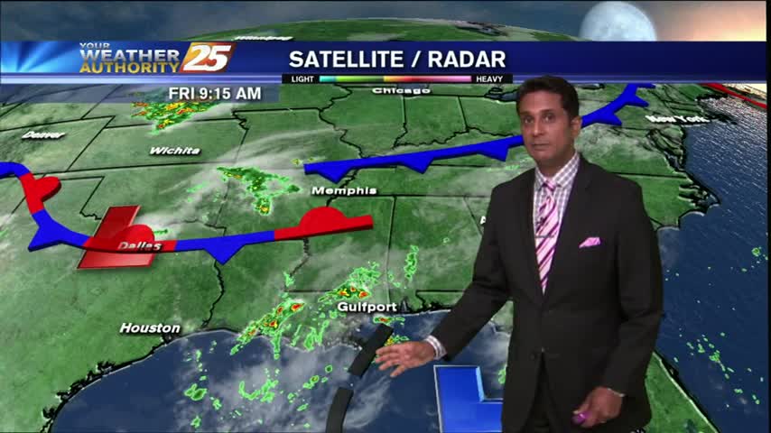
Showers and thunderstorms have developed north of the coast and are pushing south...
Partly cloudy skies this morning with slight cooler temps from showers and t-storms overnight...