3/14 - Rob's "Clearing Skies" Midday News Forecast
After a chilly and cloudy start...colder/drier air continues to move into the region eroding the cloud coverage...
After a chilly and cloudy start...colder/drier air continues to move into the region eroding the cloud coverage...
In the wake of last night's cold front, it's a CHILLY start with partly cloudy skies through the area...
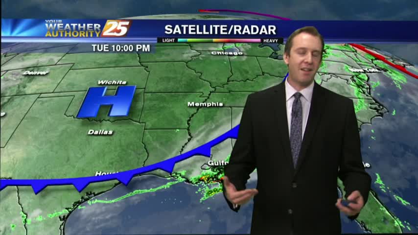
The rain finished in South MS around 9 PM, so the cooling and clearing has begun! Watch the forecast for more information.
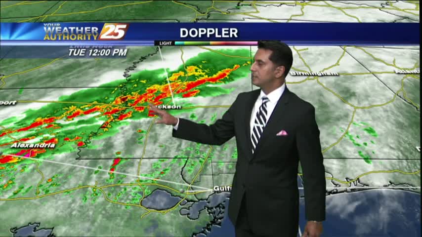
A few late morning showers passed through earlier, and we're just beginning to see the second round of rain beginning as a cold front closes in. Drastically different weather this week than the last few, so be sure to click the forecast link for more information.
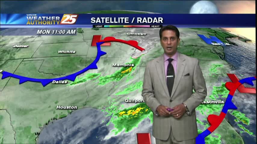
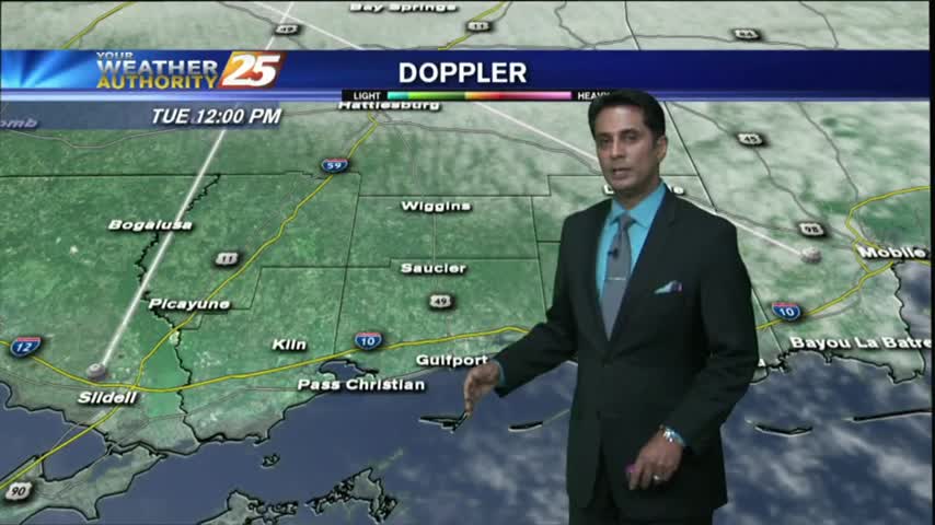
Spotty rain from an area of low-pressure in the central Gulf continues to move north into the southern 6...
After clearing late yesterday...the clouds have moved back in with rain moving in from the sound...
After a weekend that brought some light rain, we saw a bit of clearing earlier today. The clouds are moving back for one last rainy day before a cooler & drier week, so be sure to check out the forecast for details.
A few sprinkles moved through earlier today ahead of a very weak boundary, but more rain will move through for the weekend. Details inside.
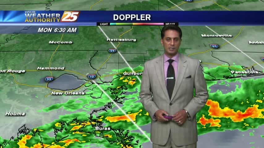
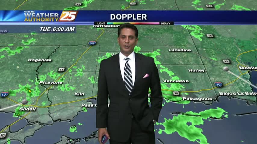
The cold front which moved into the area earlier this morning with showers/t-storms...now beginning to move over the sound and dissipate...
Areas of PATCHY DENSE FOG this morning as a cold front in Central Mississippi moves south...
After a nice two day break from the cloudy and warm days we began the week with, the clouds are gathering again. Watch the forecast to find out when that means rain.
We're about done with our short break from the cloudy and humid start to the week, and a cloudy and rainy weekend is expected. Click the forecast link for more.
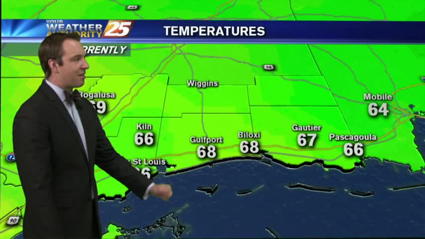
This morning starred out with a few clouds and cool temps, with both increasing this afternoon...
A few clouds continued overnight through this morning with cool temps and areas of very light fog...
After a warm, humid, and overcast start to the week we finally saw some clearer skies today. Won't last long though, so watch the forecast for details.
After a cloudy morning with light drizzle, the clearing line is beginning to move into the southern 6...
The cold front has moved into the norther GOM with light drizzle lingering along the southern 6...
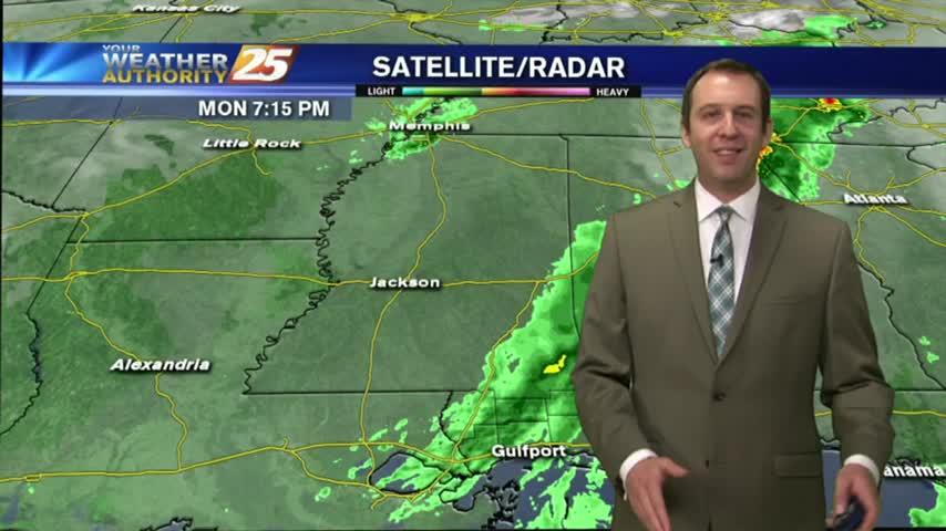
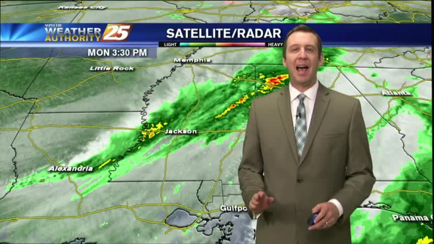
We eyed this evening as the time a cold front will move through the area, and while the storms have already moved out of the area, we'll have to wait a bit for the clearing skies. Full forecast within.
After light showers earlier this morning, isolated t-storms are beginning to develop to the west...
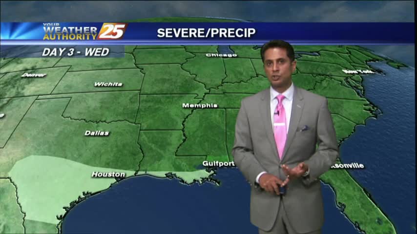
A warm/humid and breezy start to the day along with light showers, as a cold front to the NW approaches the area...
Overcast skies continued this afternoon, but still didn't see much rain. Showers are beginning to move in from the SW, and rain is expected to increase ahead of a cold front tomorrow. Watch the full forecast for details.
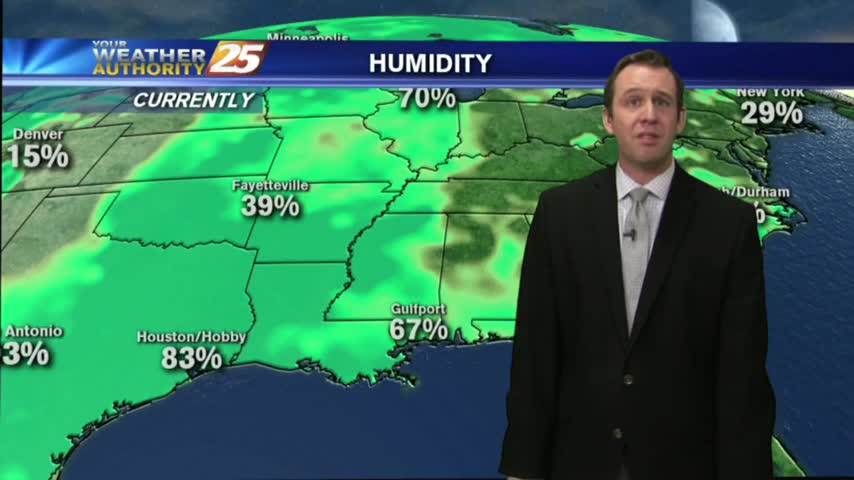
After a mostly clear start with light fog this morning...clouds have increased along with WINDY conditions continuing...
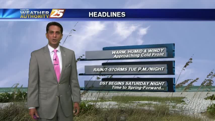
Warm/humid conditions continue to move into the area with a STRONG southerly wind in advance of an approaching cold front...
It's my first evening on the Sunday night show! Today remained overcast as expected and a few showers are starting to pop up. Click the forecast link for more information.