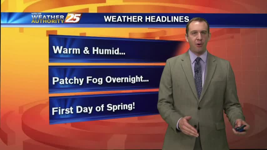
03/22 Ryan's "Humid" Wednesday Night Forecast
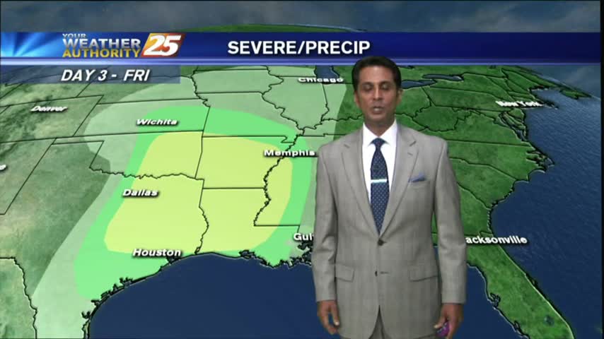
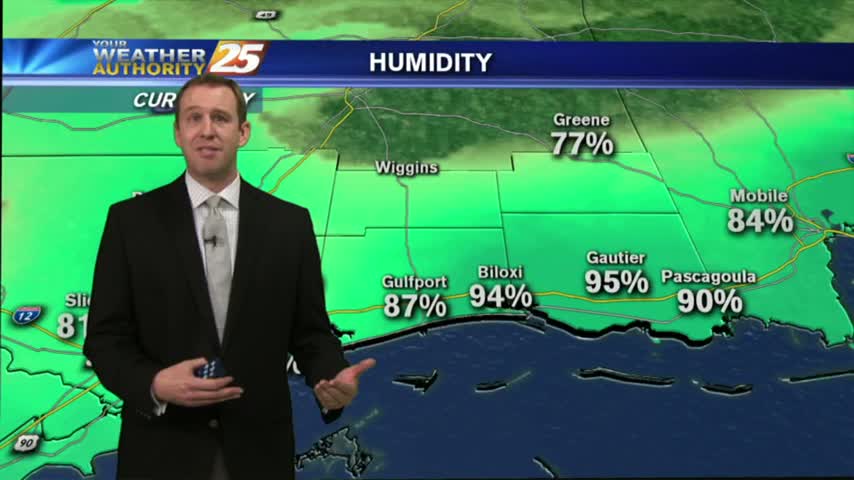
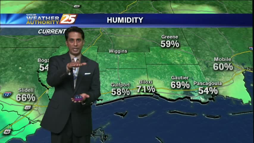
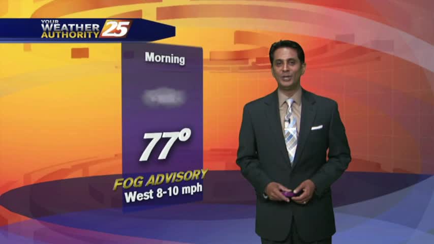
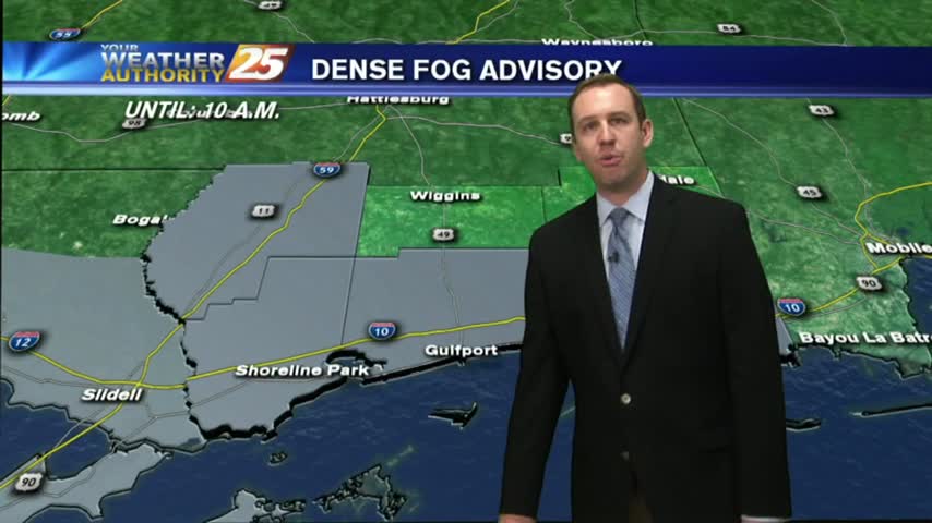
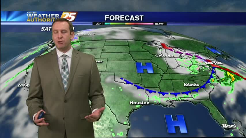
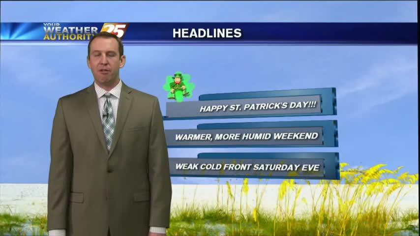
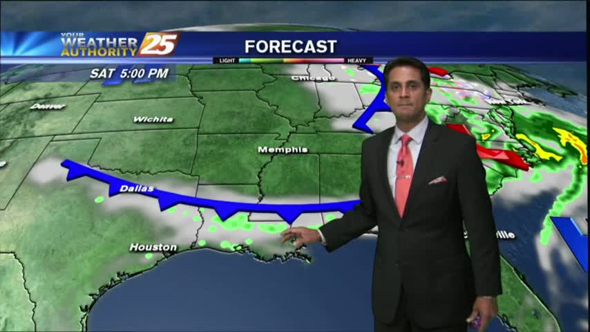
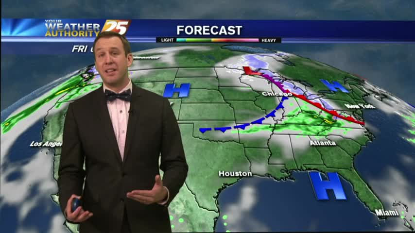
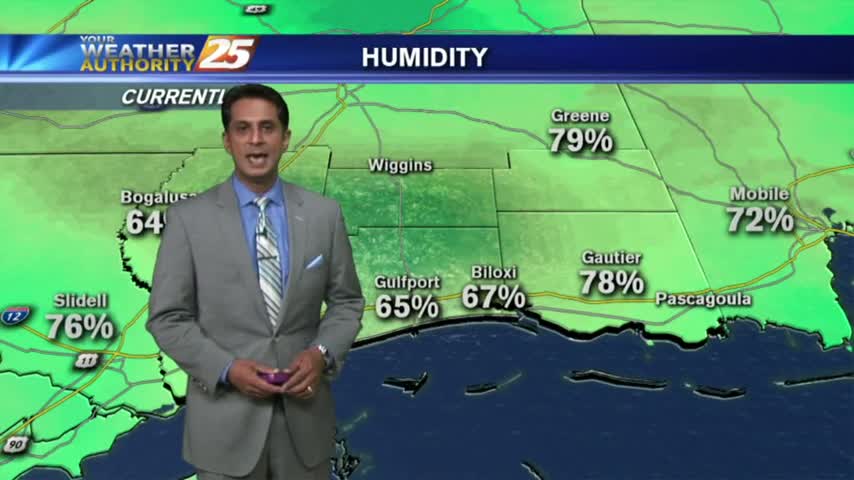
More warm & humid conditions in South MS for tonight, meaning more fog likely, though NE winds should keep it light. Looks like active weather will move in just in time for the weekend, but you'll have to watch the forecast for the details.