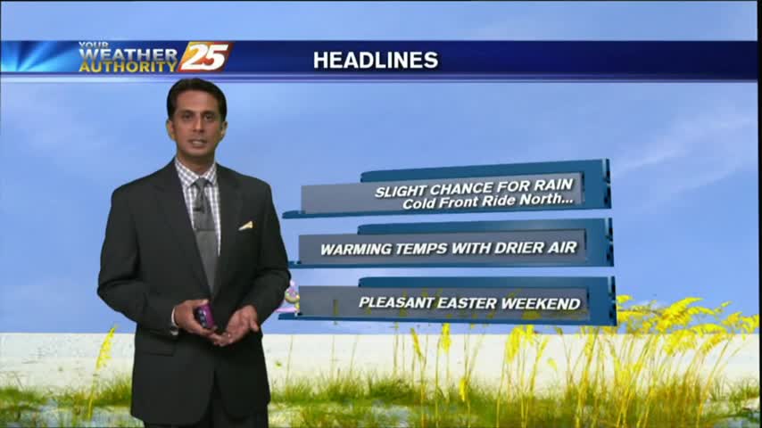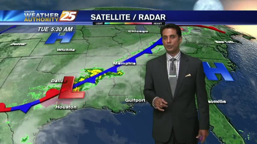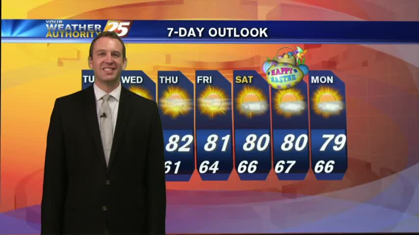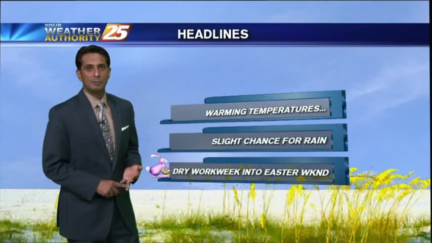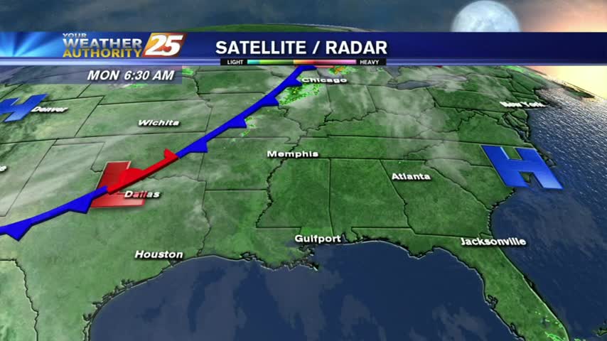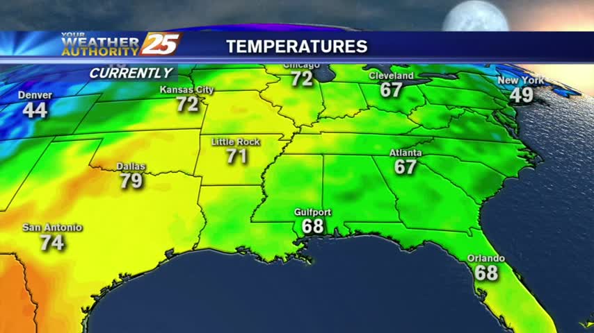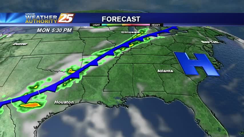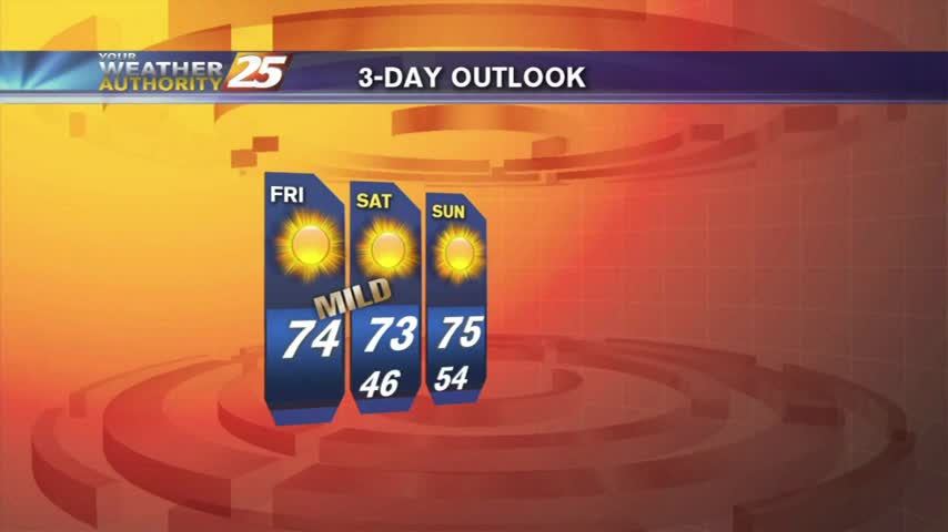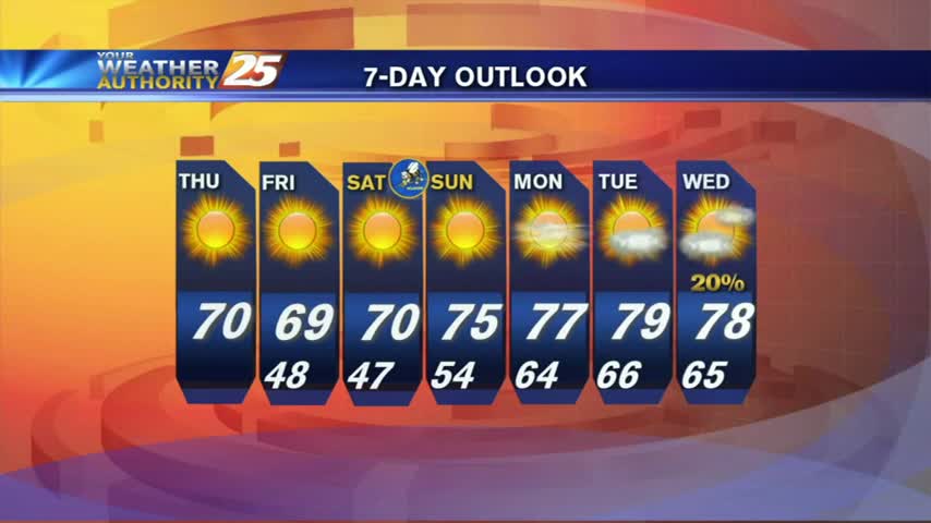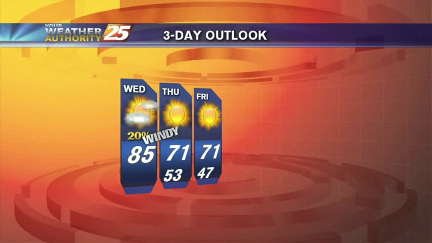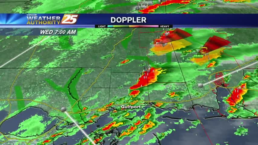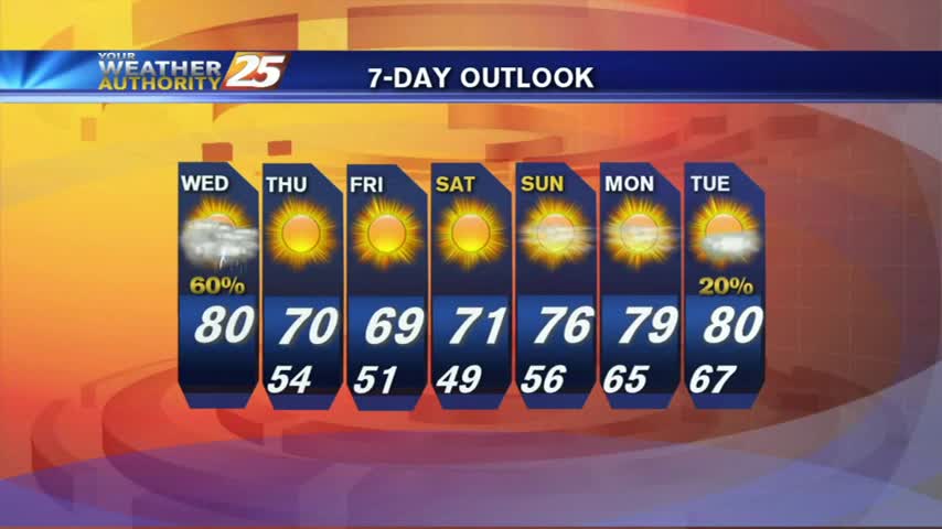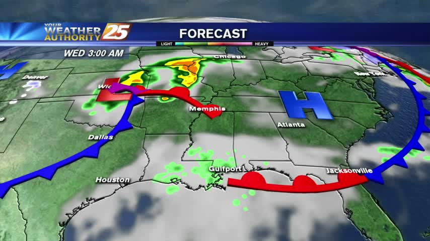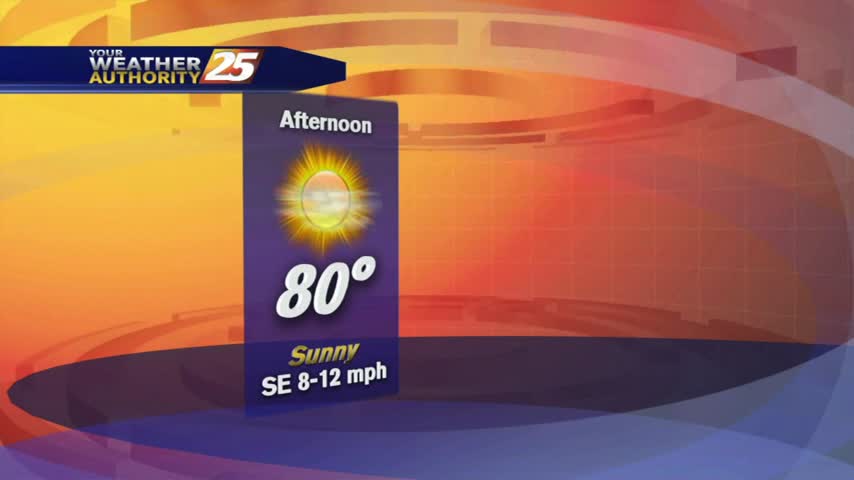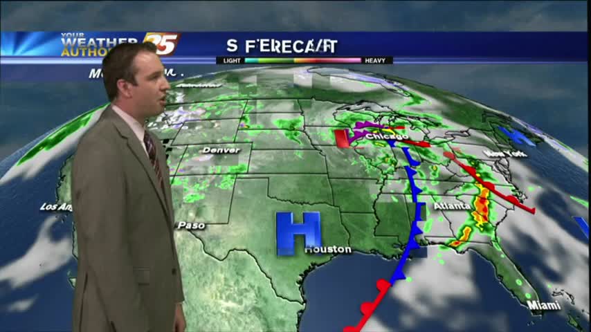
04/11 Ryan's "Cloudy & Humid" Tuesday Afternoon Forecast
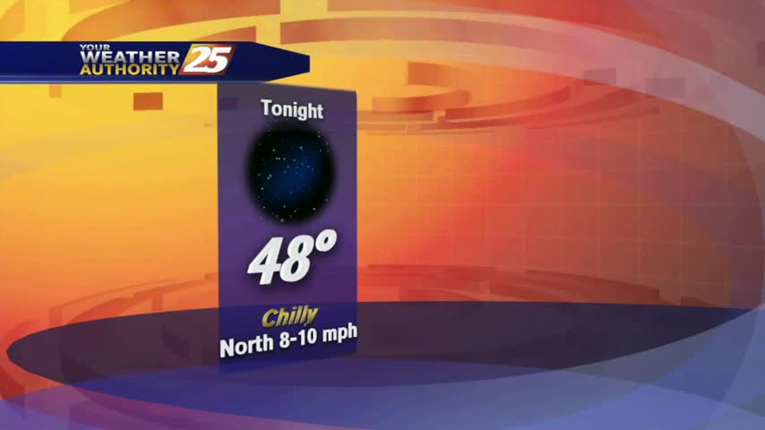
Thicker cloud cover moved in a bit earlier and will linger through the night, causing some warmer temperatures. Tomorrow will begin cloudy, but clear through the afternoon. Watch tonight's forecast for more details.