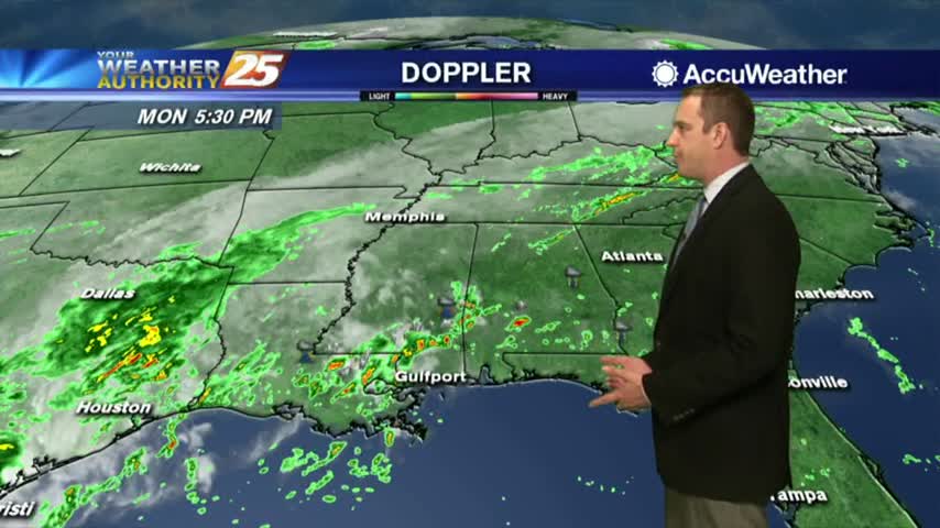
10/23 Ryan's "Less Gloomy" Tuesday Night Forecast
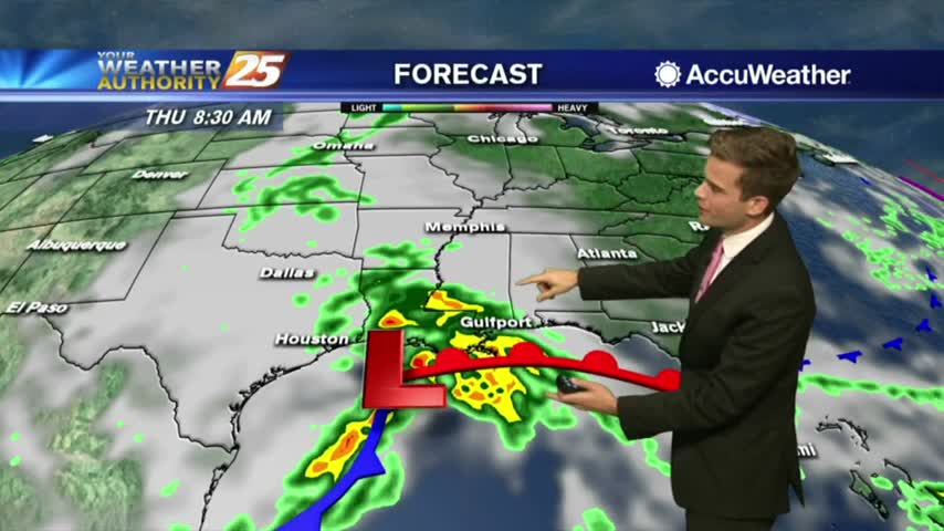
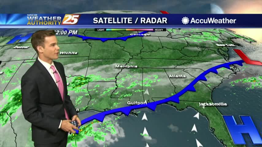
The rain will back off through the night and for tomorrow afternoon, but heavy rain moves in by Thursday.....

The rain will back off through the night and for tomorrow afternoon, but heavy rain moves in by Thursday.....

It's been drizzly and grey all day long and while the rain will slack off soon, the clouds will remain for a few days before drier weather moves in....

Rain and more rain...then Sun and more Sun!
Rain today...rain Thursday...clearing this weekend.
The clouds moved in as expected today and we'll see a few rainy ones ahead before more sunny and dry weather returns....

Clouds are moving in...rain chances will soon follow.
Clouds increasing and rain chances increasing this week.

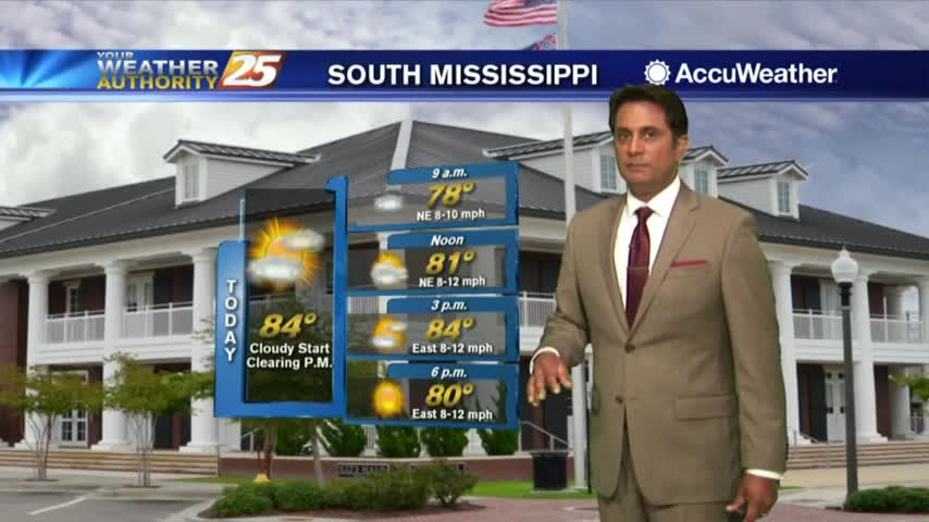
Today was just about the best South MS weather can get with its mid 70s high and drier air, but we'll see changes moving in quickly over the next several days....
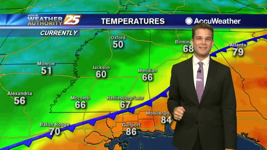
Despite the air temperature being almost exactly the same; today is much more sticky and uncomfortable due to the rising humidity. We’ll see that humidity carry over into the night, which will allow for the development of some patchy fog…
A little humidity made a big difference in our weather today, but the sticky and humid conditions don't linger for too long before cooler weather moves in....

What's all the buzz about the weather? A big cold front is headed our way!

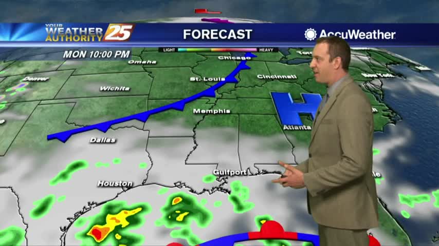
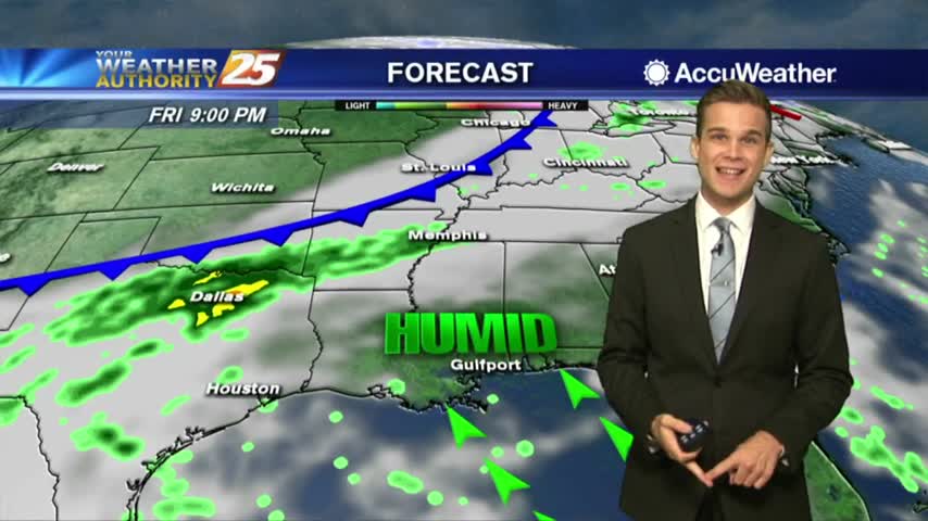
More moisture today, but a strong cold front this weekend.

Doesn't get much better than today...cooler and drier.
Cool this morning, but even cooler temperatures are in the forecast.
The cold front that moved in yesterday is slowly bringing in the cooler and drier air, but we'll see more rain soon....
Things are finally changing back to Fall-like weather, but we'll see more rain before the week is through....
Clouds from this morning are slow to leave, but we'll see sunshine and drier air eventually.
The cold front has moved south, as cloud coverage and areas of patchy fog persist...

We'll see clouds and moisture linger in the area as long as a front continues to break down, but more fall weather is moving in....

The cold front slowly moving into the area continues to bring cloud cover and a few showers, but more Fall like weather is on the way....
The cold front is so close, but will it ever make it through?
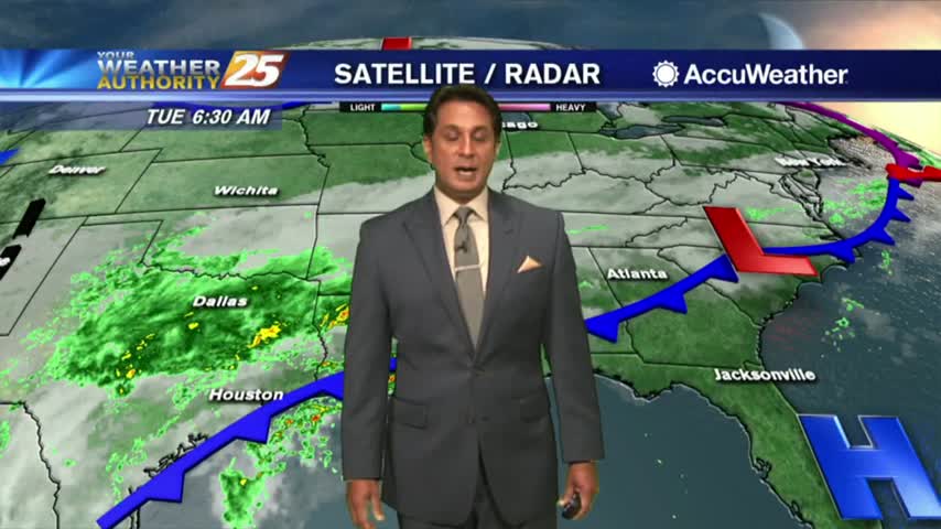
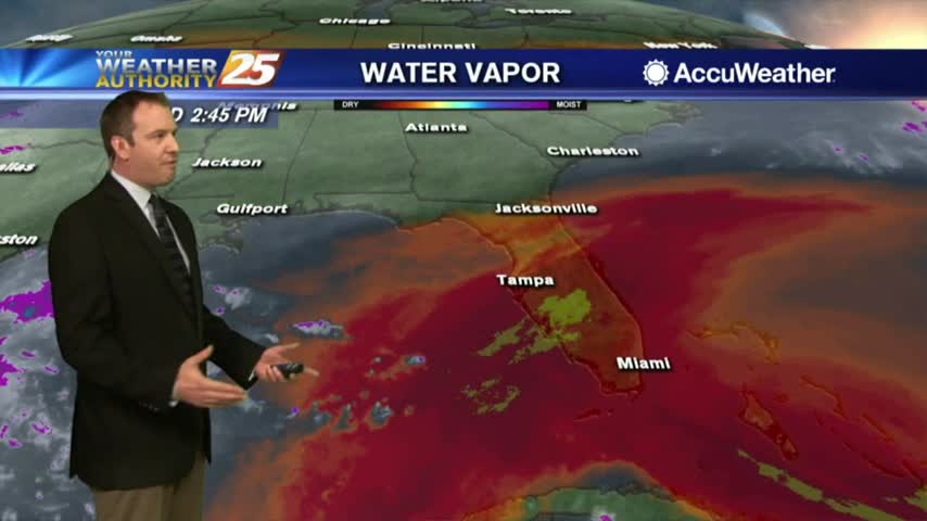
A cold front to our north has brought light rain and patchy dense fog for your morning commute...
The clouds and rain linger for a few days before the Fall weather returns....
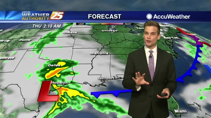
Today should be the rainiest and warmest day of the week, so get ready for more Fall weather....