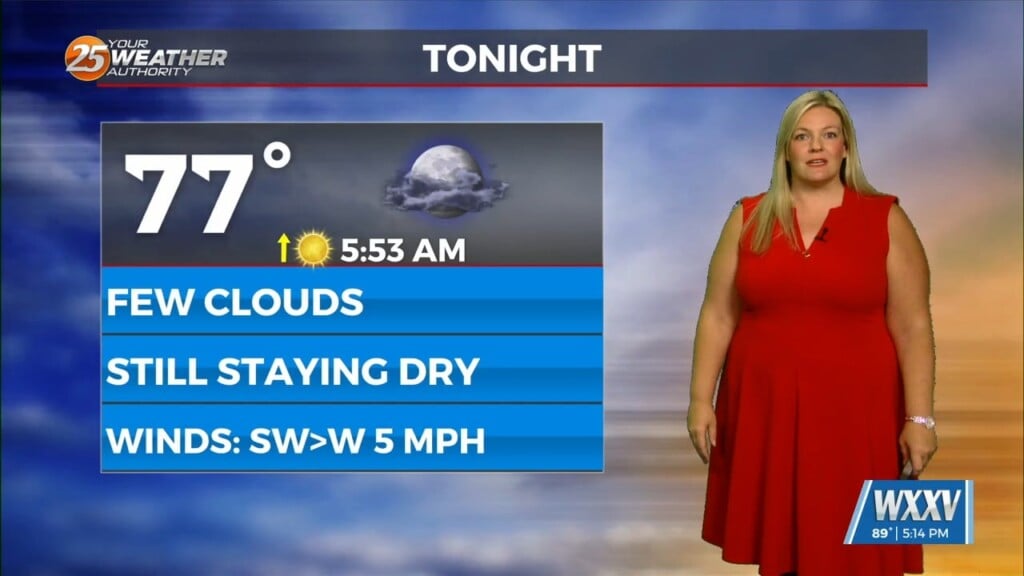
3/17 – Rob Knight’s “St. Patrick’s Day” Morning Forecast
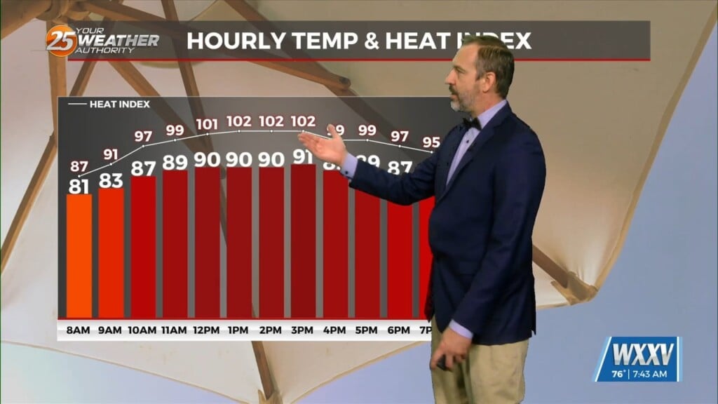
Today is looking like a very nice day as high-pressure shifts to the east and return flow begins ahead of the next system. Timing is a virtue with this forecast. Long story short is that surface instability grows disturbingly high late Friday morning with the approaching front. Showers and t-storms will begin after midnight with the activity ramping up around 4 a.m. The window for SEVERITY will be between 5 am – 9 am in the viewing area. All form of severity will be on the table with the potential for TORNADIC activity along and south of the I-10 corridor. This will be another very fast moving system with all activity expected to be moving out of the area by 11 am Friday just in time.
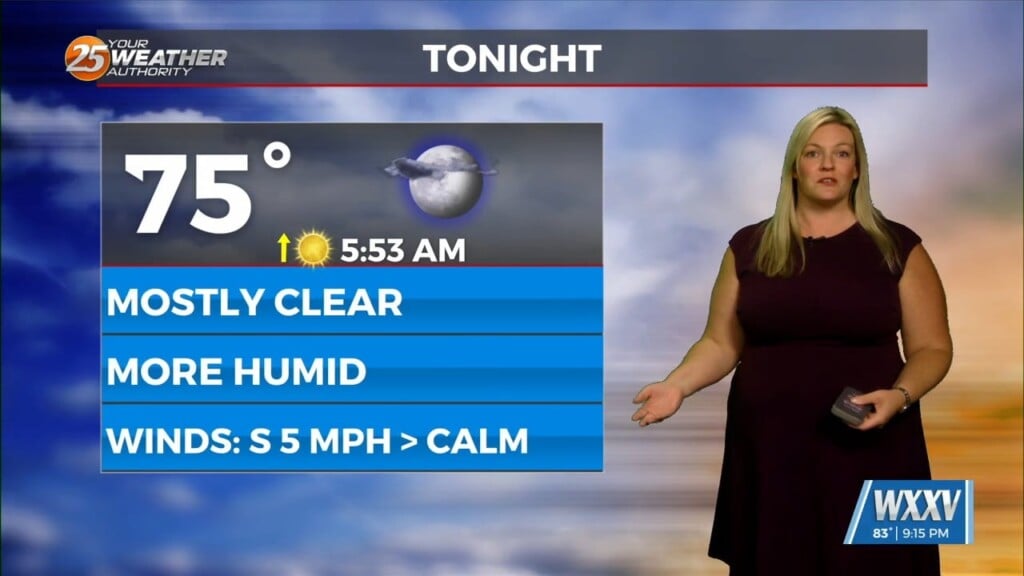
Thunderstorms will be able to make for some high rainfall rates but will also be moving quite rapidly. The weekend will bring lovely conditions to ring in the new season. Another possible severe weather event will be possible early next week.