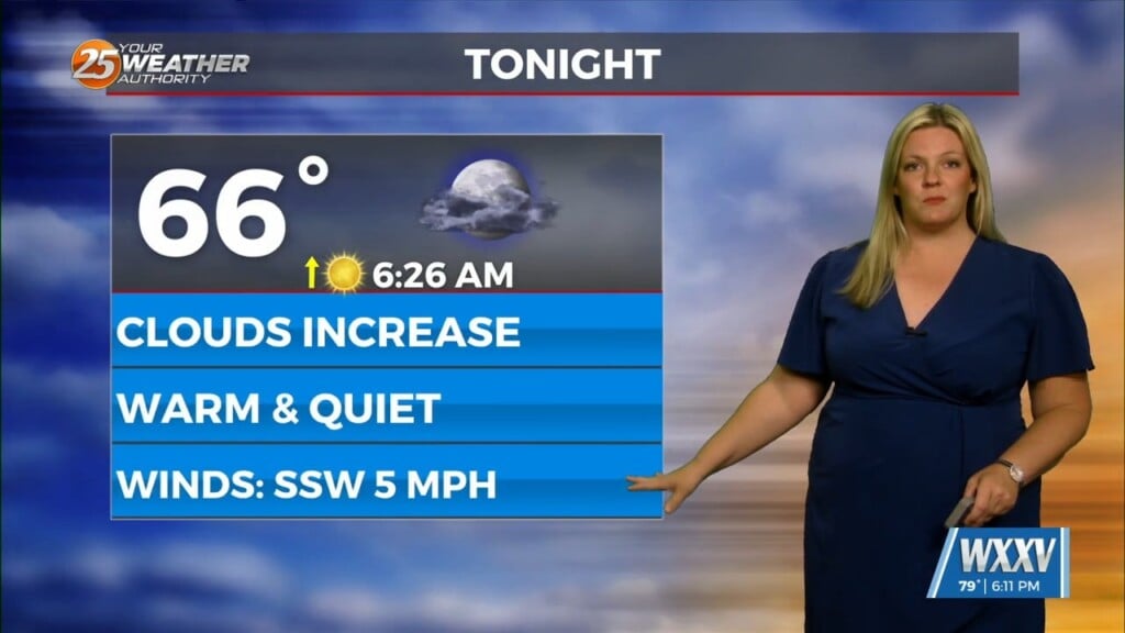
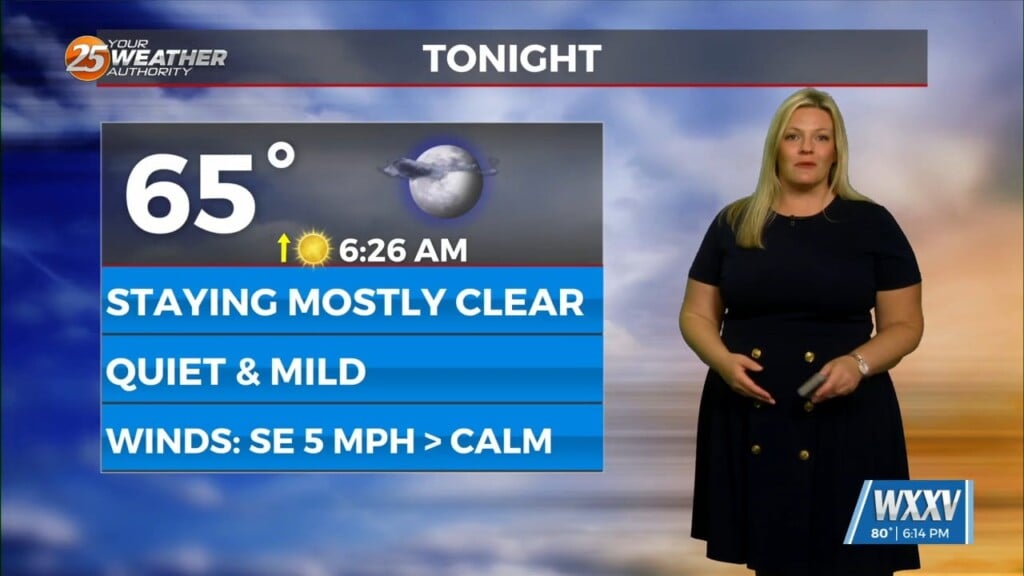
5/9 – The Chief’s “Low-End SEVERE THREAT Tonight” Thursday Morning Forecast
First things first this morning it appears there could be a few isolated low topped showers develop with the initial impulse moving into NW Louisiana. Through the day the surface cold front will slide southward over central MS and AL. A cluster of convection is forecast to initiate up stream along the front over northeast TX by Thursday afternoon. This complex moves quickly eastward into northern Louisiana and into southern and central MS during the overnight and predawn hours Friday.
Taking a look at the SEVERE parameters, Instability will not be a problem anywhere within our forecast area. The main story will likely be strong damaging wind gusts especially with bowing segments of the line. However, all form of severity will be on the table.
The front moves through Friday and winds shift to a more northerly direction. Although by definition CAA initiates, we will still see some locations especially the southernmost spot warm into the middle and upper 80s or perhaps touching 90 degrees along the Mississippi Gulf Coast during the afternoon, especially if clouds depart rather quickly.
In the wake of frontal passage, cooler nights as well as drier days will materialize. The region will be under a slightly drier WNW flow aloft Friday Night through early Sunday. From this point forward eyes again shift up to the Texas Hill Country where another upper level shortwave will be amplifying.


