3/11 – The Chief’s “Warming Trend” Monday Afternoon Forecast
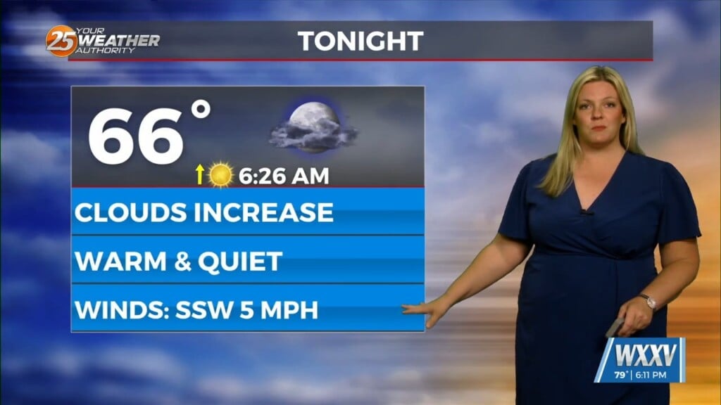
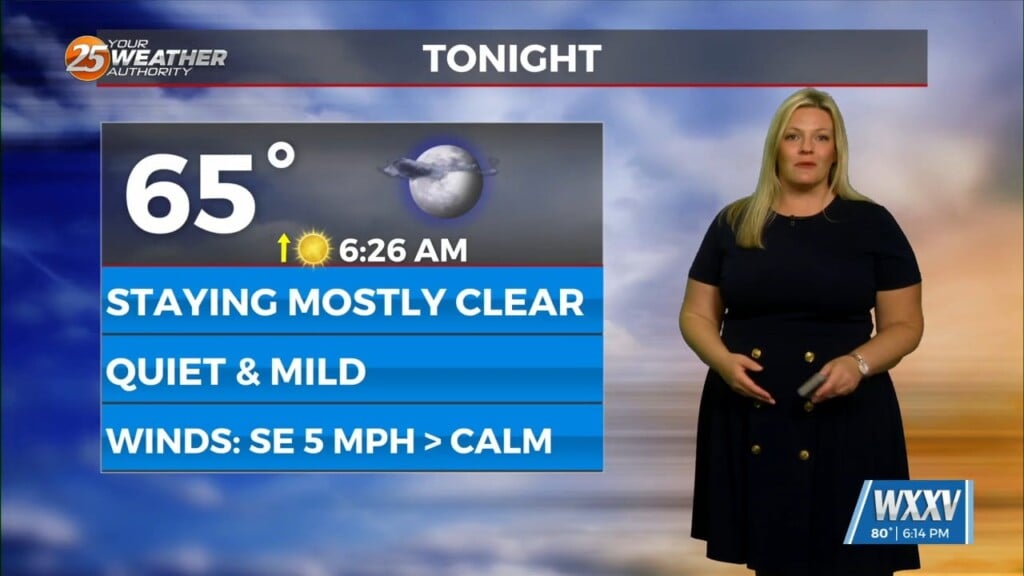
Drier air in the low levels is associated with a fairly strong surface high pressure centered over the region. Temperatures will also continue to run slightly below average as the northerly flow persists through the afternoon hours. The upper-level clouds are expected to clear this evening, and this will allow for decent radiational cooling tonight as winds remain very light.
The next disturbance will pass through the area Wednesday into Wednesday night, and this system will also have limited moisture to tap into. The most likely areas to see some isolated to widely scattered rain showers. Multiple disturbances through the weekend will keep the area under rain chances. For the remainder of the forecast area, spring weather can be expected with partly cloudy skies, breezy southerly winds, and warm temperatures in the upper 70s and lower 80s. With a warmer flow, morning fog will become a factor beginning Wednesday and should continue through the weekend.


