2/7 – Jeff Vorick’s “Pleasant” Wednesday Evening Forecast
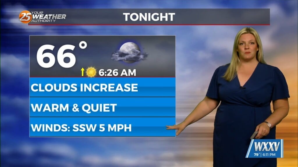
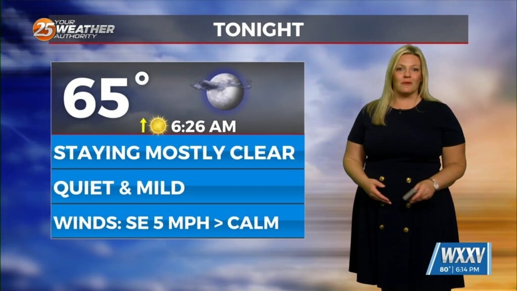
Another nice day will give way to a fairly pleasant and mild evening tonight. Temperatures will be slower to drop as the overall weather pattern turns more mild. Cloud cover will be around most of the night with thin mid-level and upper-level clouds streaming in. More clouds will be around tomorrow but Thursday will start off with temperatures 5 to 8 degrees warmer. Above average temperatures will continue through the end of the week with even warmer temperatures in store to start Friday.
A more active storm track slowly sags into our region by this weekend. Rain chances begin as early as Friday but expect them to be more of a factor Saturday and Sunday. Friday features stray shower chances; Saturday will have the possibility of isolated showers, while more activity arrives later on in the extended forecast. The final piece of energy will trigger more widespread showers and embedded thunderstorms Sunday into Monday.


