10/16 – The Chief’s “Fall Weather Continues” Monday Morning Forecast
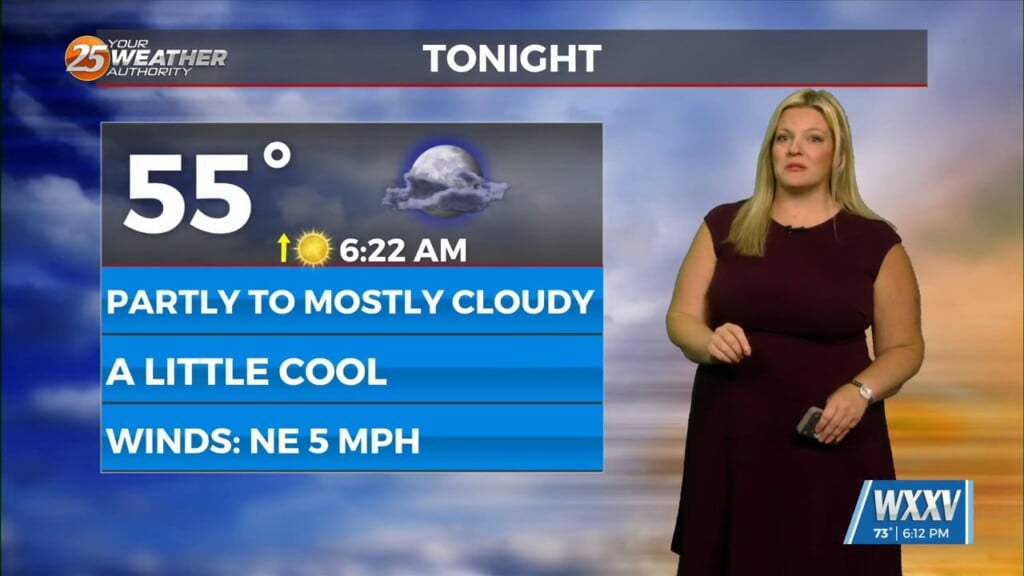
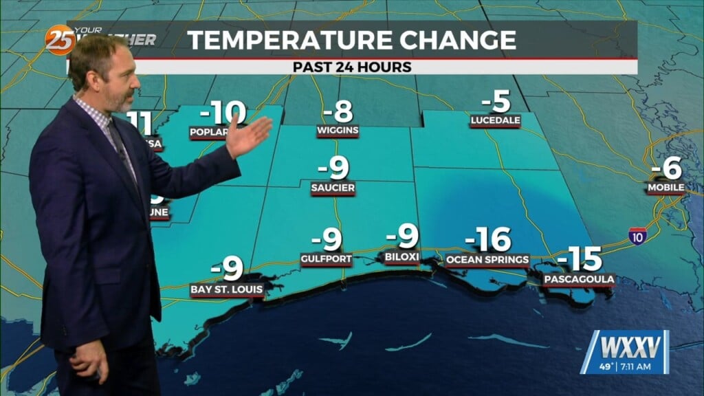
Clouds really hung around yesterday and definitely had an impact on the highs and then winds have held on for much of the evening and even a few hours after midnight which has had as much of an impact on temps overnight. The next 2 days have the best chance of seeing widespread 40s for lows with tonight likely the cooler of the two and possibly the coldest night so far this fall. Heck of a day to start the workweek with clear skies and cool conditions for rush hour and school bus pickup. Light jackets probably a good call for many this morning and with relatively cool LL temps and breezy conditions through midday we should see highs only in the upper 60s to lower 70s.
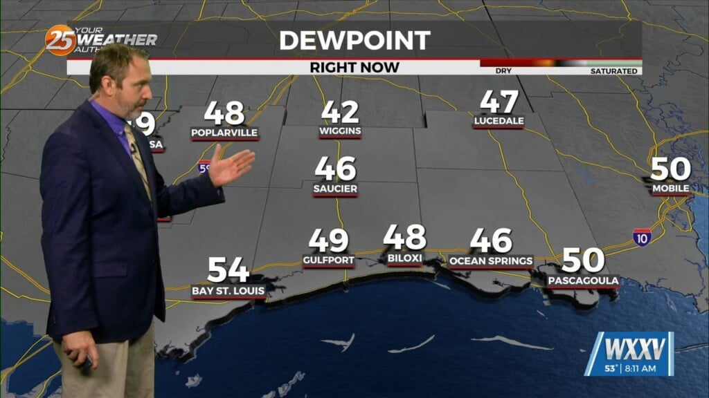
The current pattern has an area of high pressure to the NW allowing for a dry air mass to move in from the north. This setup will provide limited cloud cover and light winds; combine this with a dry boundary layer and very dry soil conditions and we have the recipe for good radiational cooling potential. The extended portion of the forecast begins quiet and honestly it looks like we will probably stay mostly quiet however we also could see temps above normal again possibly as early as Thursday but more likely by Friday. Wednesday will bring a return flow set back up with warm air advecting and moisture advection on cue.
Thursday the next disturbance to impact the region will be moving into the Great Lakes however abundant energy coming out of the Pacific over the top of the building southwest CONUS high pressure. Not expecting much in the way of showers/t-storms and no cool-down behind the front.


