10/9 – Jeff’s “Cool & Quiet For Now” Monday Evening Forecast
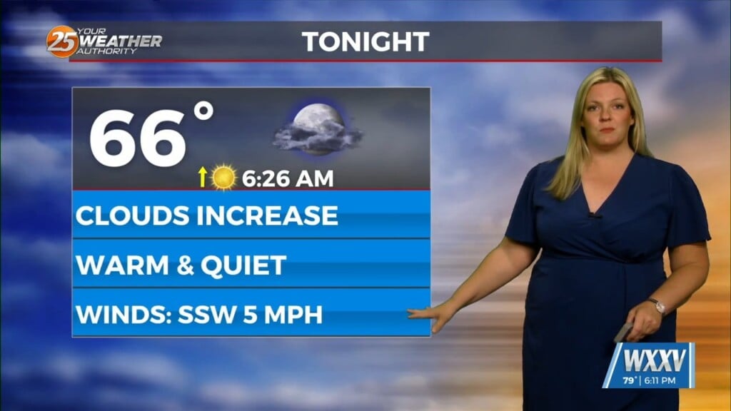
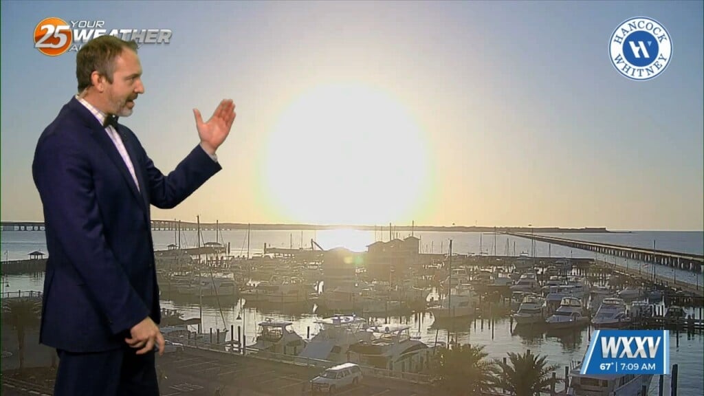
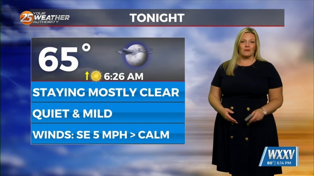
Other than winds coming out of the south, not much has changed over the last 24 hours with mainly clear skies and a cooler pattern. Tonight, expect temperatures to drop quickly for another cool start for your Tuesday. Clouds will work into the picture beginning around the pre-dawn timeframe. It will be warmer tomorrow afternoon under mostly cloudy skies.
A low pressure gathering steam in the southwestern Gulf of Mexico will be responsible for an active period this week. Rain chances will remain at bay until early Wednesday. Regardless if this system gains a tropical status, impacts remain the same. Rainfall will be plentiful Wednesday with a washout expected. Some spots along the interstate could see over 3 inches of beneficial rain.
Winds will also become gusty at times and coastal impacts including coastal flooding in the usual trouble spots can be expected. A Gale Watch will be in effect on the water Wednesday. Rain will come to an end Wednesday night and skies will clear somewhat by Thursday. Another cold front will make its way into South Mississippi by the weekend.


