8/2 – Jeff’s “Continued Heat” Wednesday Night Forecast
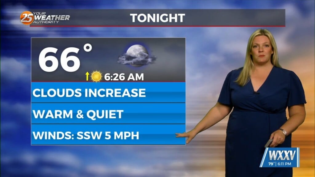
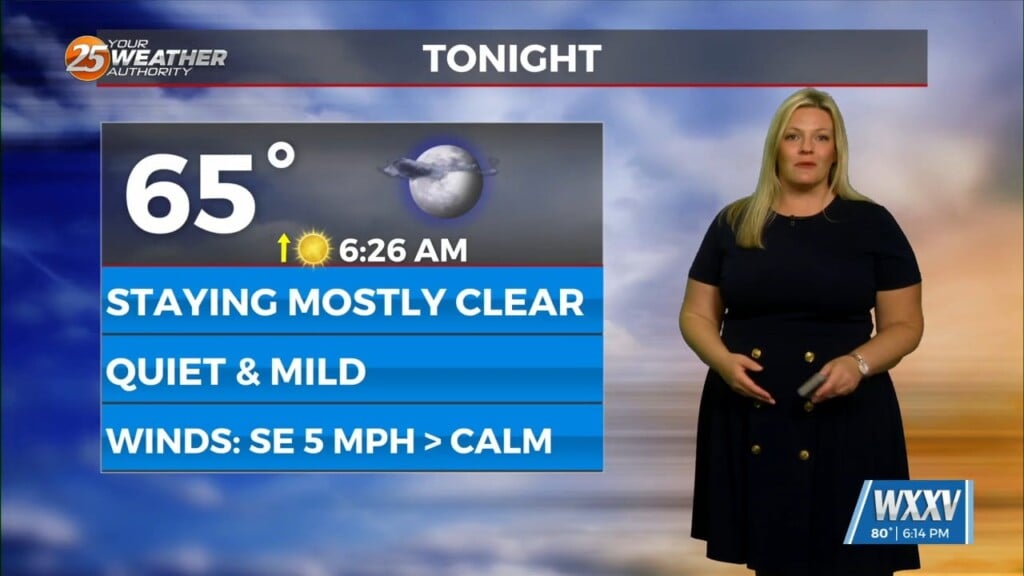
Warm and humid conditions will remain overnight. Expect a few clouds from time to time and light southwesterly winds to usher in humidity. High pressure shifting to its east means that southerly flow on its western edge is back for our area. Dangerous heat continues through the rest of the week with a Heat Advisory in effect from 10 AM until 7 PM.
A few clouds and stray shower chances are possible for Thursday afternoon. Friday could bring more appreciable rain chances but the pattern changes take hold this weekend and beyond. Rain chances return this weekend and it looks to be unsettled into next week. In the tropics, there are no threats to South Mississippi at this time. But, it is getting closer to the peak of the season and disturbances will begin to move off of the African coast.


