2/21 – The Chief’s “Happy Mardi Gras” Tuesday Morning Forecast
Additional cloud cover expected today across the region as low level winds continue to advect a very rich airmass over the region. High pressure will continue to pump in a very warm air mass leading to temperatures in the upper 70s or lower 80s for Fat Tuesday.
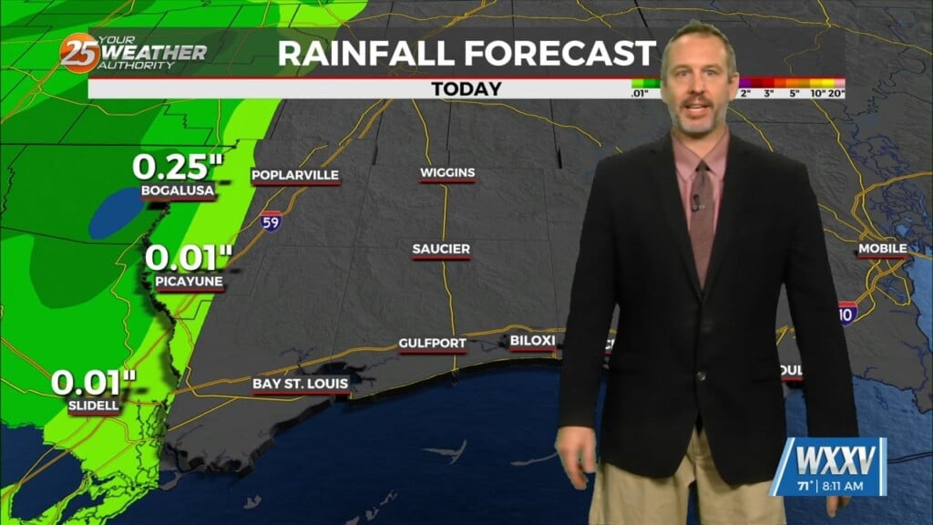
An upper level disturbance is forecast to move northeast out of northern Mexico and eventually toward the Midwest states late today and Wednesday. Forecast models continue to show this feature being pushed more and more north and west away from our region as the upper high continues to build strength across the Southeast U.S. This will also limit most if not all rainfall potential with this feature and surface cold front that tries to sneak into the Lower Mississippi River Valley…stalling as the parent wave rockets into Canada by the end of the forecast period.
At this point, winds look to be near Wind Advisory criteria for Wednesday, especially over the western tier, however, with models still trending more and more north and west with the parent system, there appears to be some uncertainty related to strength in the low levels. Temperatures should respond similarly with most locations away from the immediate coast warming into the 80s…or roughly 10 to 15 degrees above seasonal averages.
We have been looking at very warm and dry conditions for the past several days and this thinking continues with unseasonable and possible record temperatures for February on Thursday. The overall weather pattern for the period does look more like summer with dominant upper and surface high pressure over the Gulf driving the warm temperatures and lack of rain. There is a slight chance for rain over the northern portions of our area on Thursday and Friday.


