2/5 – Rob Knight’s Wednesday Morning “T-Storms & Rain” Forecast
A disturbance dropping out of the Rockies and will slowly swing through the midsection of the country, reaching the Mississippi River late Thursday. This slow process should give the local area ample time to increase moisture throughout the atmosphere. As temps warm into the mid-70s, the atmosphere will destabilize and storms will ignite this afternoon. Based on the overall picture, thinking this will be a damaging wind event with a few tornadoes possible. SPC maintained a slight risk across the entire area. Activity will flare up early afternoon with a second bout of storms rolling through around 6pm. That second round may be the stronger of the two.
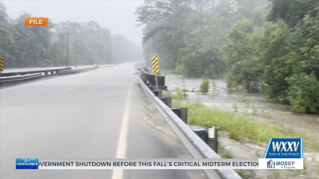
After the first 2 waves of storms move through, a third wave of rain looks to impact the southeastern portion of the area Wednesday night into Thursday morning. South Mississippi is under a FLASH FLOOD WATCH until Thursday evening, as rainfall totals could average 2 to 4 inches.
The rain will be ending late Thursday afternoon/evening as the main axis of the trough swings through. This should provide a weekend of pleasant weather with temps in the realm of climatology for a day or so before warming above normal.


Leave a Reply