9/7 – Rob Knight’s “Midday News” Afternoon Forecast
ALL EYES ON A VERY ACTIVE TROPICS…INCLUDING MAJOR HURRICANE IRMA.
After a clear and cool start to the day, warming temps continue to decrease the humidity into the 30/40% range.This afternoon will bring an abundance of sunshine. A DRIER/COOLER air mas will continue to move into the region in the wake of yesterday’s cold front. This will shape our forecast and will be a major factor in redirecting IRMA to the N/NE as it approaches the south Florida coast.
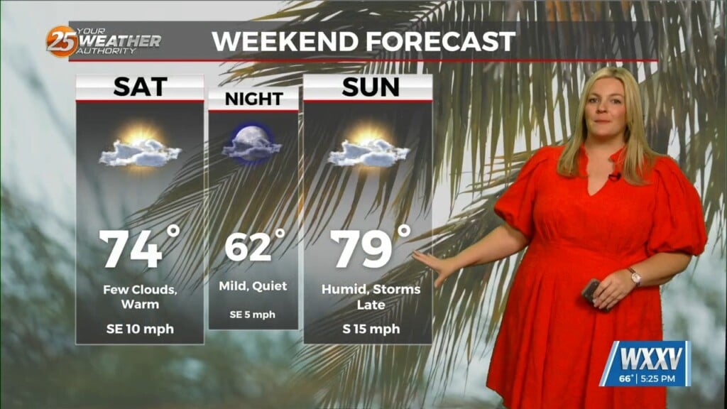
The Mississippi Gulf Coast can expect quiet conditions through the weekend as high-pressure to our NW will continue to dominate thee region. A reinforcing shot of cold air will move through the region Sunday with no significant weather. Expect sunny skies with temps max out in the low/mid 80s through the weekend.


Leave a Reply