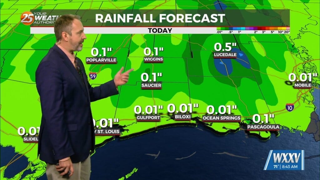
9/8 – Brittany’s “More Rain Ahead” Thursday Evening Forecast
Starting out in the upper levels, a broad ridge centered near the 4- Corners region extends from California to beyond the Great Lakes. A trough sagging southeast over the Appalachian Mountains stretches southwest to the north-central Gulf of Mexico. The base of this trough is virtually right over the CWA. As the next few days progress, the base of the trough will be clipped off and become a cutoff low. In fact, recent satellite shows the mid-level circulation already starting up.
Friday and Saturday will be quite similar as the overall pattern shows little change. The upper low will be completely closed off at this point and meandering around south Louisiana. It should be deeper at this point, which will both likely support higher rain chances but also keep temps down below normal (the 2nd effect of its local presence). There`s a low chance for some localized flash flooding as training will be possible but the threat doesn`t appear to be particularly high at this point.


