5/28 - Sam Parker's "Very Thunderous" Wednesday Night Forecast
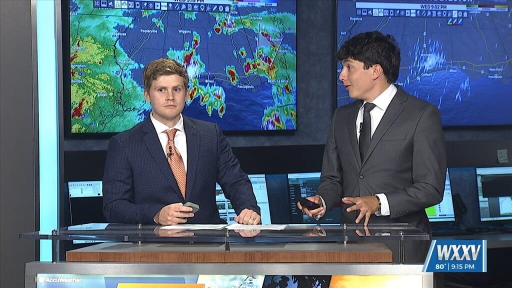
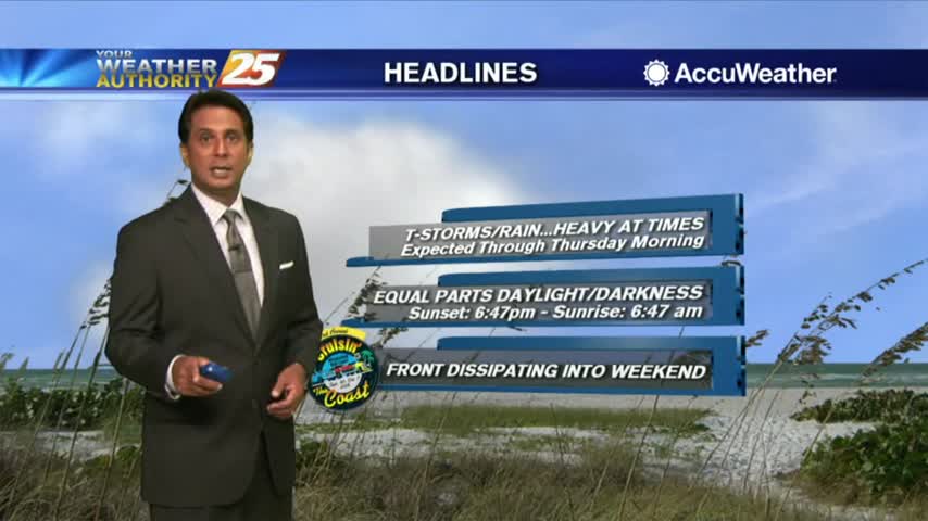
Thunder shook the WXXV Building during the forecast and lost power during this forecast too. Overnight scattered showers and thunderstorms into Thursday morning. The storm threat…
Thunder shook the WXXV Building during the forecast and lost power during this forecast too. Overnight scattered showers and thunderstorms into Thursday morning. The storm threat…
Starting out in the upper levels, a broad ridge centered near the 4- Corners region extends from California to beyond the Great Lakes. A trough sagging southeast…
Hot and dry again for most of the day today. Focus this evening will be on convective development to our north and east, with short-range guidance identifying a…
A mid-level disturbance will dip southward over the frontal zone and this will start an initial round of scattered showers and thunderstorms in coastal MS counties through the late morning hours. The frontal zone will shift further southwest into southern…
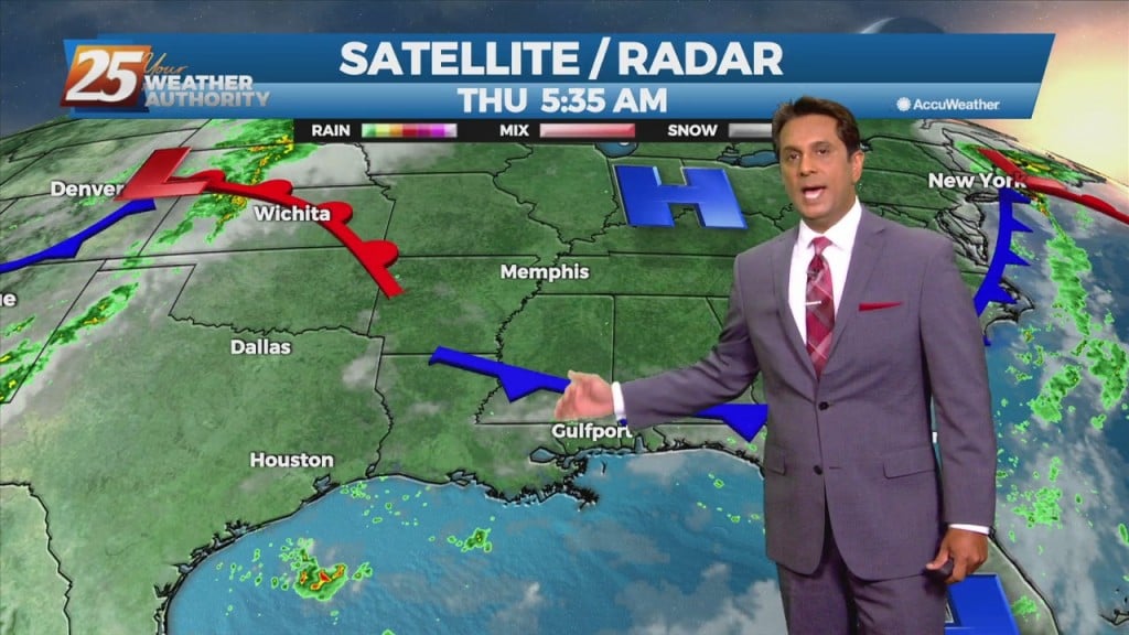
A VERY WET start to the day as a plume of moisture is bringing showers/t-storms with HEAVY RAINFALL and frequent lightning...
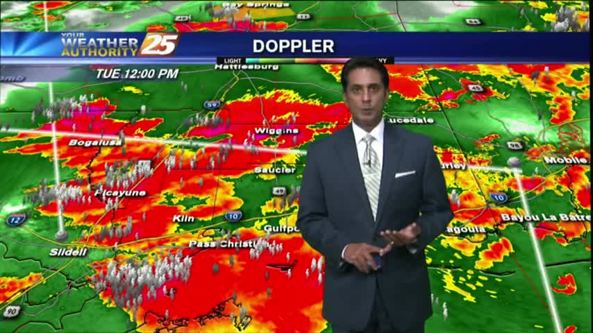
After a warm/humid start...showers and t-storms developed with STRONG/SEVERE storms moving across the viewing area...