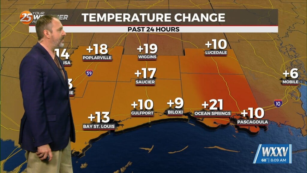
9/18 – The Chief’s “Less Humid Air Mass” Monday Morning Forecast
Overall, it’s a very tranquil and “cool” morning across the region with temperatures generally in the 60s with light northerly surface flow continuing. Surface dew-points are also a bit on the lower side with lower 50s across SW Mississippi and middle to upper 60s closer to the warmer bodies of water.
Today will be very similar to yesterday in terms of low humidity values and temperatures warming back into the upper 80s to low 90s. Tuesday look fairly similar to today, however, there should be a slight uptick in low level moisture as a surface high spreads eastward allowing for a lighter onshore flow to initiate across the area. There appears to be weak high pressure amplifying over portions of the area later tonight and into Tuesday. A weak impulse will move across the region mid-week bringing low rain chances to the area Wednesday and Thursday…mainly in the afternoon hours coupled with daytime heating. A few nocturnal showers/storms will be possible late Tuesday night as low level moisture quickly filters back into our marine zones, but land based zones should continue to remain on the dry side.
The upper level flow will be transitioning from zonal to broad ridge across the entire Mississippi Valley by Wednesday. At the same time, an inverted trough will begin to develop just off the Georgia/Florida coast. It`s development will erode the southeastern periphery of the high pressure, thus allowing moisture to return to the local area. Although not a drastic surge in moisture, dew-points across the area will increase about 5 degrees with 70s returning to marine and coastal parishes/counties. This change is all that’s needed to spark scattered showers and thunderstorms. Precip chances Wednesday into Thursday reflect that expectation with 20-50% along coastal areas and 10% or less elsewhere.
Drier air will begin wrapping around the western side of that upper low (which could become tropical at some point per NHC) should result in a decline in rain chances from north to south over the local area Friday into the first weekend of Autumn.


