9/15 – Rob Knight’s “Warmer Air Mass” Thursday Morning Forecast
High pressure at the surface covers roughly the eastern half of the country, with low pressure and an associated front from the Dakotas into Colorado. The old frontal boundary, separating dew points in the 70s from dew points in the 60s to the north, resides near the edge of our coastal waters, with scattered showers and storms to the south of the front. Aloft, high pressure extends pretty much the length of the Mississippi River Valley, with weakness along the East Coast and the lee side of the Rockies.
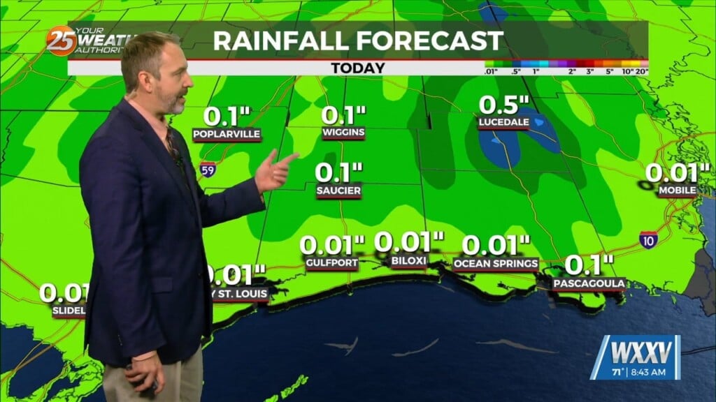
Dry air will remain parked over the area today with high pressure not moving much. We may gain enough of a low level onshore component to allow moisture to increase a bit to the south of Interstate 10 where moisture values increase. I cannot totally rule out isolated showers or storms near and south of I-10 Friday. For most areas, anticipate that high temperatures today and Friday will be similar to, or a degree or two warmer than Wednesday. That`ll put most areas pretty close to the 90 degree mark.
With a slightly more onshore wind component Friday into Friday night, that should lead to a bit warmer overnight lows across the north half of the area. As surface high pressure shifts eastward slightly and upper ridging weakens temporarily, moisture levels will increase a bit over the weekend allowing for the opportunity for showers/storms to pop up during the heat of the day Saturday and Sunday afternoons. It certainly won’t be an all-day rain situation. In fact most areas north of Interstate 10 could remain dry all weekend.


