8/30 – Jeff’s “Brief Dry Airmass” Wednesday Night Forecast
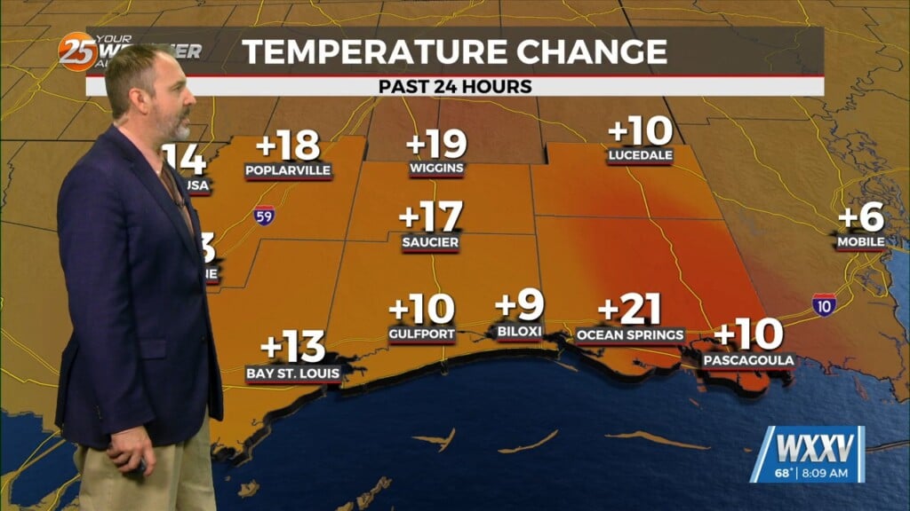
Skies will clear out overnight and temperatures will cool off to pleasant readings out the door tomorrow. Humidity won’t be a major factor so the heat will be more tolerable than the norm we’ve seen this summer. Given the dry conditions, continue to follow burn bans.
Humidity will gradually increase towards Friday. A frontal boundary will flare northward which will bring the Mississippi Coast back into a tropical airmass. Rain chances also return for the end of the week into the weekend.
Friday and Saturday bring 60% chances of rainfall with the potential for several inches of accumulation locally. The unsettled pattern has the potential to continue into next week. Idalia will move offshore of North and South Carolina tomorrow.


