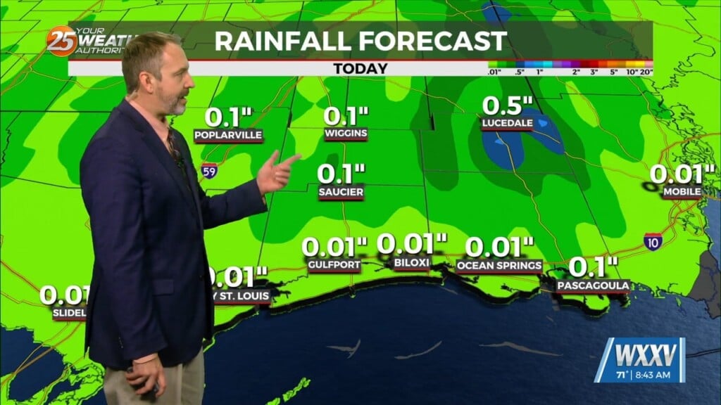
8/18 – The Chief’s “Heavy Rain/Flash Flooding” Thursday Afternoon Forecast
This afternoon will continue to bring showers/t-storms to the area.
The main concerns over the next few days will be the threat of thunderstorms. Heavy rain will be the point of highest concern, but can’t rule out a few reports of wet microbursts, especially this afternoon/tonight. Northwesterly mid-level flow will continue through Saturday (and beyond), with several impulses sliding southeastward toward the area. In most areas, it`s going to be rainfall rates that will cause the most significant issues. One to two inches of rain isn’t a problem unless it falls in 30 minutes, which is entirely possible.
Another disturbance will move through the region late tonight into Friday morning, with another round of thunderstorms likely at some point during that period. Areal coverage looks to be a little less widespread than today. By Saturday, the upper flow turns a bit more southwest, but with high moisture levels remaining over the area, not losing the threat of thunderstorms any time soon. Outdoor activities likely to see multiple interruptions over the next few days/evenings, and some/most of them are likely to involve lightning. Weak high pressure is expected across the northern Gulf of Mexico for Sunday and much of next week. This will not be enough to dry the area out, but will begin to reduce rain potential.


