8/16 – The Chief’s “HEAT ADVISORY” Tuesday Morning Forecast
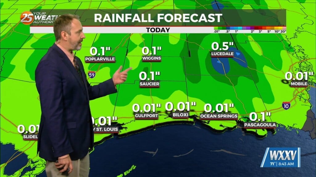
Hot and dry again on today for most of the day. No real distinct changes in the overall profile of the atmosphere. This subsiding dry layer has kept very hot conditions through the region and that will continue. The focus late this afternoon and evening will be on convective development to our north and east, with short-range guidance identifying a zone of low-level convergence oriented NW to SE across central MS into SE MS. This area, lined up with a corridor of higher moisture will be enough to ignite t-storms. The question here will be how widespread/deep can convection become late in the day, eventually pressing south and maybe southwest with time. Rain chances across coastal MS will be towards 40-50%, with 15-20% towards I-59. Otherwise, no modifications performed to the highs as we’ll likely see heat indices in the 106-112F range supportive of the current advisory in effect.
The upper pattern doesn’t change a lot between now and Wednesday afternoon, with the local area primarily in northwesterly mid- level flow between the ridge to the northwest and the trough to the northeast, with a surface frontal boundary to the north of the area. The one thing preventing me from going with a mostly dry forecast is that any impulse riding through that flow could produce t-storms.
As we head toward the end of the week, the ridge to our west weakens a bit and the Bermuda high tries to build back westward into our area. We’ll see some multiple weaknesses across the area as a frontal boundary again attempts to push into the area. Areal coverage of t-storms will be higher as we move into Thursday and Friday with elevated moisture flow.


