7/26 – The Chief’s “Dome of High Pressure” Wednesday Morning Forecast
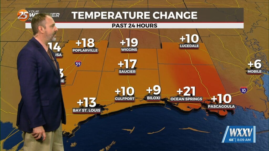
The pattern has change slightly as the cold front overhead dissipated overnight. The lower dew-points will remain with us as drier air will once again mix down to the surface during the day and moisten back up during the evening and overnight. Not much in the way of anything to help showers/t-storms get started today and relatively low chances will continue over the next several days. But some isolated activity will develop during the most unstable portion of the day Thursday with a slow rise in precipitation numbers as the week moves along. Good thing is the lower dew-point numbers will help keep the Heat Index numbers down for now.
We still have low to mid 70F dew-point temps going past Thursday but there is some indications that deeper moisture will continue to move over the area by the end of the week. This may only be for the southern half of the area. Saturday, we could find dew-point numbers in the mid and maybe a few upper 70s. This will cause HI numbers to climb possibly into the lower end of heat advisory status depending on how much the SW CONUS high pressure strengthens east and SE by the weekend. An easterly wave roughly along 72W this morning should enter the gulf by late Thu or Fri bringing with it much deeper moisture. The Hurricane Center is showing this feature being near the Bahamas with a 0% chance of developing. As the wave moves westward through the gulf it could bring the area some needed rainfall by that time, mainly by the weekend into the first of the new week.


