7/21 – Rob Knight’s “Another Day of Heat Advisories” Thursday Morning Forecast
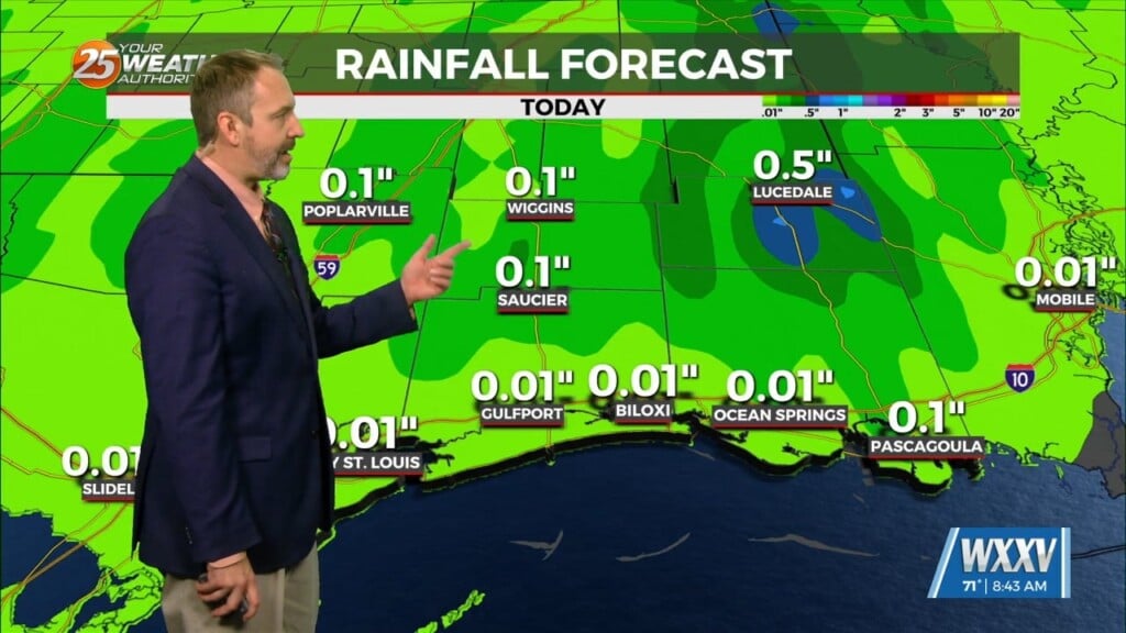
High pressure centered over southwest builds east today and dominates the weather pattern through the short term bringing more normal summer conditions of rain and heat. Today will still be hot and the combination of heat and humidity will again necessitate Heat Advisory in the area. Moisture flow values are normal for this time of year, but rain chances will be low today and tonight because of the high pressure and relatively weak vertical forcing and lift. Where rain does occur, though, there are chances for gusty winds associated with downbursts due to drier air in the mid-levels
Friday sees increased cloud cover and rain chances on the order of 50 to 70 percent from south to north over the area. The increased cloud cover will help to lower the temperatures slightly perhaps removing the need for a Heat Advisory. With the increased rain chances there is always the chance for localized heavy amounts that could result in some flash flooding. Model soundings show a less favorable environment for gusty downburst conditions, though.
Saturday is looking much like today with respect to low rain chances but slightly cooler high temperatures, so again the need for a Heat Advisory will be evaluated as the period gets closer. Models are still in decent agreement with how the long term forecast is looking. We sit in a ridging pattern with high pressure at the surface sitting just to our east. This creates consistent southeasterly flow both aloft and at the surface, feeding plenty of rich moisture into the area.


