7/18 – Rob Knight’s “Summertime Heat” Monday Morning Forecast
The general upper level setup aloft hasn’t changed in the last week or so for all intents and purposes with the exception of small variations. A broad upper level remains centered near New Mexico and extends from Mexico to Canada and the Pacific Ocean to the MS River Valley. It will generally be in centered this position through this forecast period. A disturbance moving through the Ohio River Valley early this morning will extend southwestward towards the Gulf Coast today while it tracks eastward. Its position in proximity to the local area and the fact that its already east of the area plus moving eastward means that no frontal boundary will reach the south Mississippi. Today`s official forecast precip chances are around 20-30%, with slight possibility for strong winds from slight/severe potential.
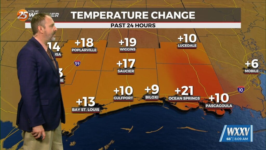
Tuesday and Wednesday will be a transition back to high-pressure dominating the forecast. That high to the west will be expanding east which will allow for more warming and increased subsidence. We should see afternoon t-storms become more isolated in nature. In addition, above normal temps are expected to possible top out in the mid-90s in the area.
The transition will begin Friday with the center of the high-pressure reaching the lower and mid-Mississippi Valley by Sunday. At the surface we will be on the west side of the Bermuda high which will bring roughly southeasterly and southerly winds. This will bring tropical moisture out of the Caribbean and across the Gulf of Mexico. Where rain does occur, the amounts will be low with models showing totals for the extended period of less than 1/4 inch. The primary concern will be heat with Heat Indices over the area in the low to mid 100s, but approaching the advisory criteria of 108 on Thurs and Fri.


