6/16 The Chief’s “Scattered Thunderstorms/Humid Flow” Friday Forecast
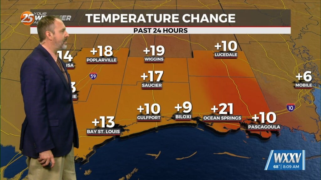
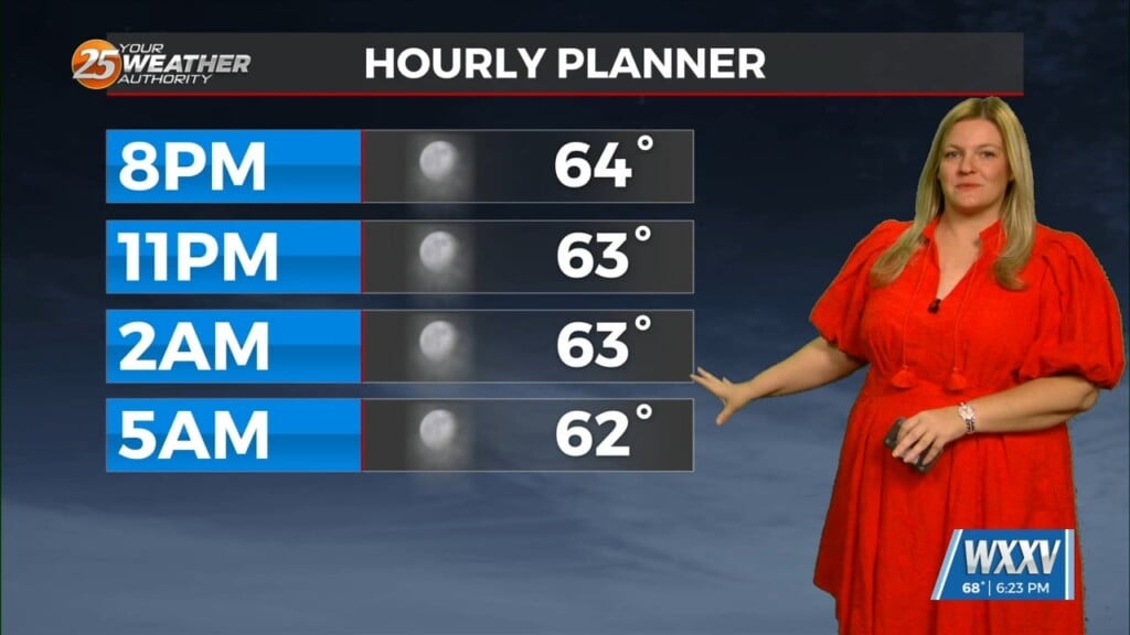
A Heat advisory is in affect for area from 11 am to 7 pm, be sure to practice summertime safety. The boundary has generally been north of our area keeping the worst of the thunderstorm activity out of our area. Currently we do not see much of a mechanism over the next 36 hours to move features very far from where they are at now. Once the current boundary moves through the area or dissipates, the atmosphere will refuel for potentially another cluster of thunderstorms overnight tonight into Saturday morning, with more thunderstorms possible by late afternoon Saturday. Any of these complexes will have the potential to produce severe weather, particularly wind, as the atmosphere remains very unstable. This oppressive heat pattern will begin to break down early next week as the mercury will drop back to seasonal temperatures by Monday, as rain chances increase.


