6/1 – Britt’s “Welcome To The 2022 Tropical Season” Afternoon Forecast
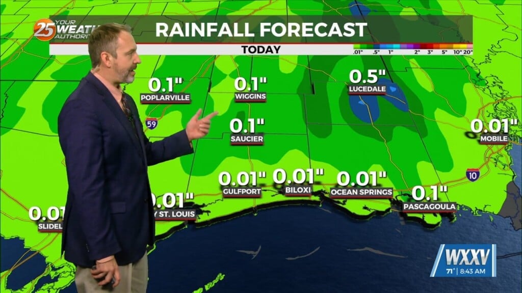
Fairly quite conditions ahead which is normal for this time of year…Hot muggy with a few showers/t-storms around. This focus of moisture moving back to the area over the coming days, will be from near Mobile to New Orleans and when daytime heating is involved, the whole north central gulf coast will be in the mix to get a thunderstorm or two each day.
By Friday, a cold front will be either through the area or stalled/washed out right across it. The main hazard Friday would be brief heavy rainfall. In terms of temperatures, the front won’t be strong enough to see much of reprieve from temps as highs will still be in the upper 80s to lower 90s.
With the dry air and weak high-pressure this weekend, temps will have a chance to rise higher than we have seen in a while. Temps will gradually continue to warm with highs Sun-Tues in the mid-90s in some areas. Dew points remain in the low 70s so heat index values won’t be much higher than regular temp. Lows remain in the lower to mid-70s each night.


