5/8 – Jeff Vorick’s “Thunderstorms Exiting” Monday Evening Forecast
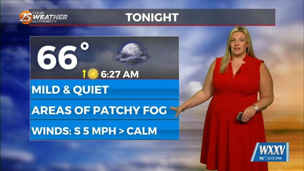
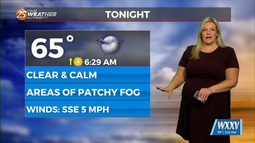
Shower and thunderstorm activity will become less widespread over the next few hours. Isolated rain chances cannot be ruled out overnight while patches of light fog are possible. It will be warm and muggy out the door for your Tuesday. Tomorrow looks to be much like today with scattered thunderstorms in the picture.
Batches of rain are possible tomorrow, especially in the afternoon tomorrow with energy from an area of low pressure to our west. Towards the middle of this week, expect more in the way of dry time and more breaks in the clouds. There are low-end rain chances Wednesday and Thursday but a washout is not expected.
High pressure firmly builds in by the end of this week into this weekend. Expect warm and humid conditions to continue for much of the forecast period. For the foreseeable future, muggy mornings with 70-degree temperatures and afternoon high temperatures well into the 80s are the case.


