5/2 – The Chief’s “High Pressure Dominance” Tuesday Morning Forecast
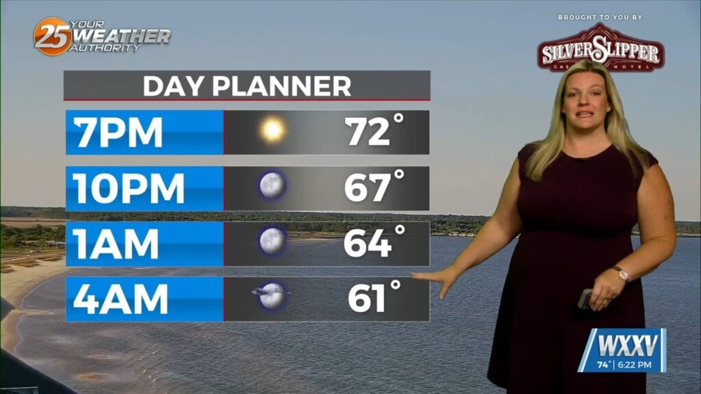
There really isn’t a whole lot of material for discussion in the package as we’re in a period of benign weather. Upper level northwest flow on the back of a fairly deep disturbance is bringing pleasant feeling warm and dry air with light generally northerly winds. Skies will progress to partly cloudy this afternoon/night due to some mid- level moisture coming out of the Gulf. Temperatures will warm slightly tonight due to the cloudiness. By Wednesday high pressure to our west will move over the area signaling a warming trend through the end of the week.
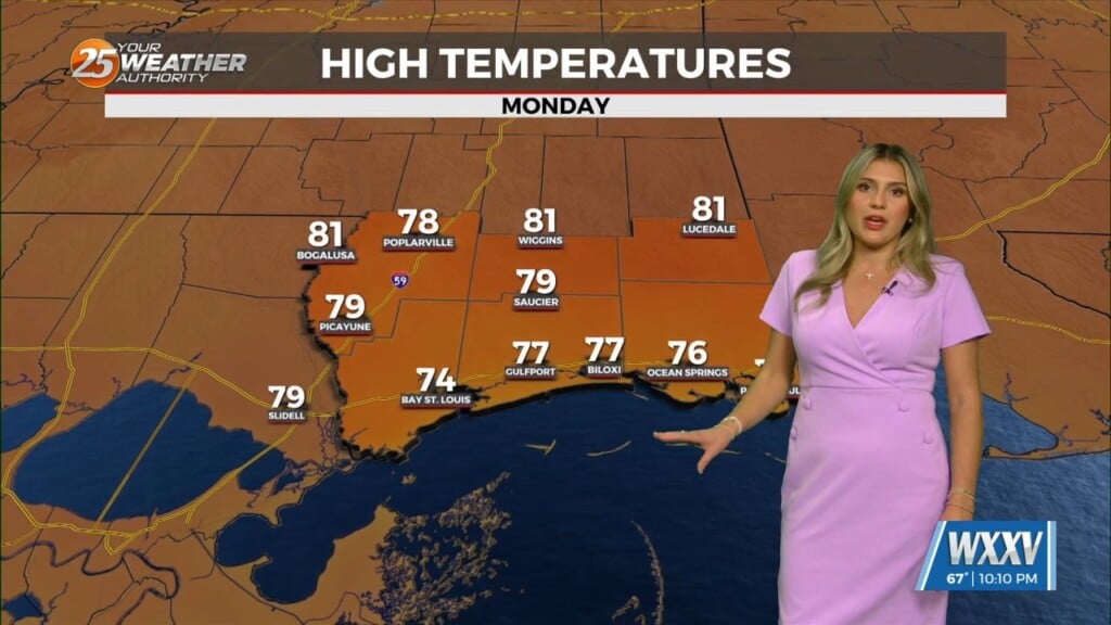
As the upper high pressure dominates and the surface high moves to the east, temperatures will continue to warm with the possibility of highs reaching into the 90s by the weekend, winds will shift to predominantly southerly, and the return flow behind the high pressure bringing the possibility of isolated to widely scattered showers and thunderstorms especially over the northern portions of our area Friday afternoon into the weekend.


