5/18 – Jeff’s “Warm Pattern” Thursday Night Forecast
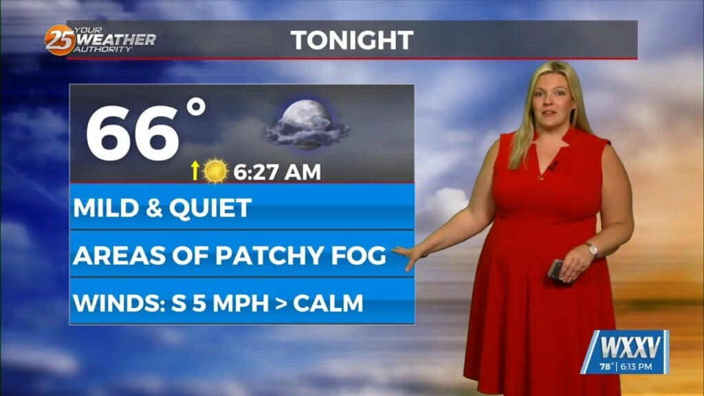
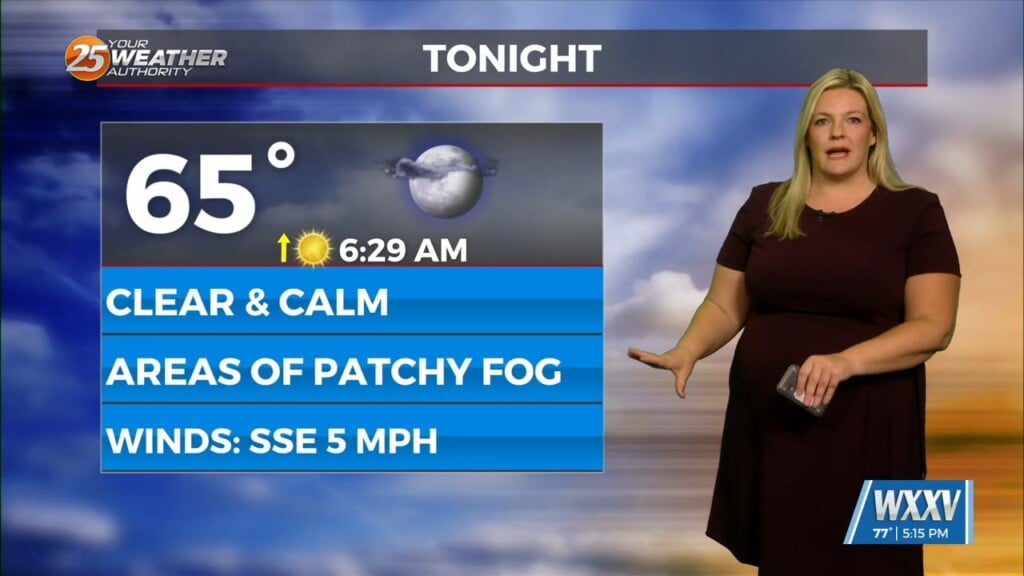
Mild and humid conditions will continue for tonight. Some fog could form in the typical locations but it will quickly dissipate tomorrow morning. Friday will be the nicest day of the week with only isolated thunderstorm chances in the afternoon. Hot temperatures will be around too with heat indices nearing 100. There will be a cold front that arrives this weekend. Rain chances will elevate for Saturday.
If the cold front comes through during the afternoon or evening, daytime heating will maximize rain chances. Strong thunderstorms could develop as well. Once the front passes and daytime heating is lost, rain chances will go down. There will be more rain chances behind the front Sunday into Monday. No washouts are anticipated, just scattered activity. High pressure will build in next week and a milder airmass could take shape.


