5/15 – Jeff Vorick’s “Thunderstorms Ending” Monday Evening Forecast
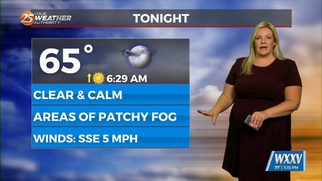
Scattered showers and thunderstorms will gradually come to an end over the next few hours as daytime heating is lost. South Mississippi is in a summer-like pattern thanks to ridge of high pressure supplying a very warm airmass. For tonight, expect mild and humid conditions with the potential for light fog in some spots. Tomorrow will be much like today.
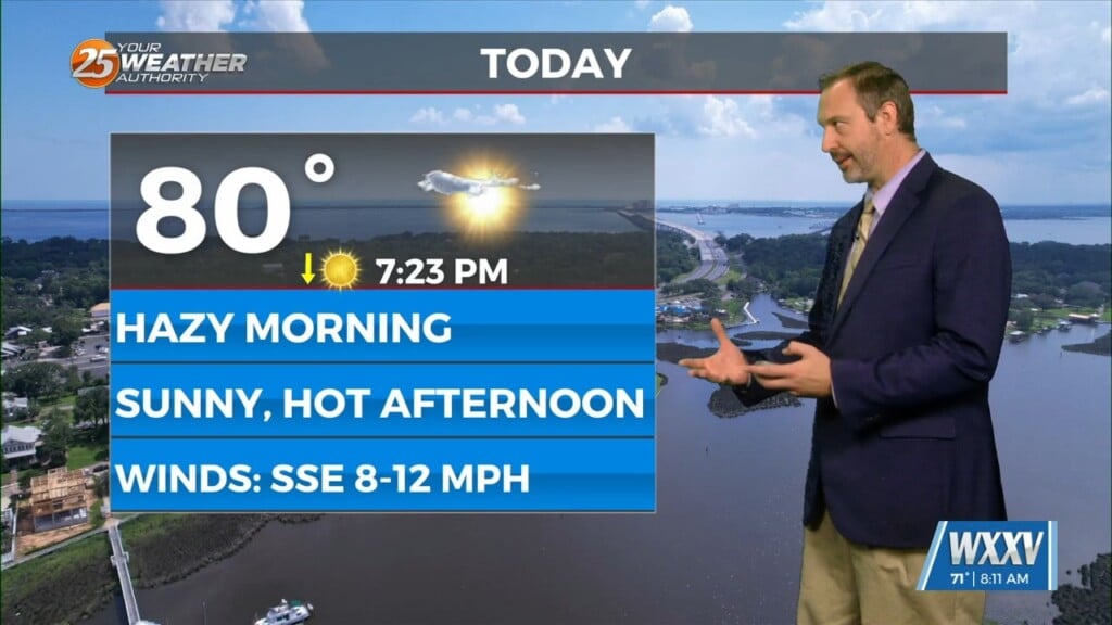
Expect clouds to increase with heating of the day Tuesday. Hot and humid conditions will persist as well with it feeling like nearly 100 degrees. A sea breeze will look to develop again bringing with it thunderstorm activity inland of Interstate 10. Scattered thunderstorm chances of around 50% are expected. A system currently to our north will be getting closer in time for the middle of the week.
Wednesday will feature the best shower and thunderstorm coverage due to a cold front moving through the region. Daytime heating will maximize rain chances but the same expectations of downpours and frequent lightning are on the table. Later this week, expect more dry time especially Friday. Another cold front could be on the horizon this weekend.


