5/11 – Rob Knight’s “Subtle Changes Ahead” Hump Day Morning Forecast
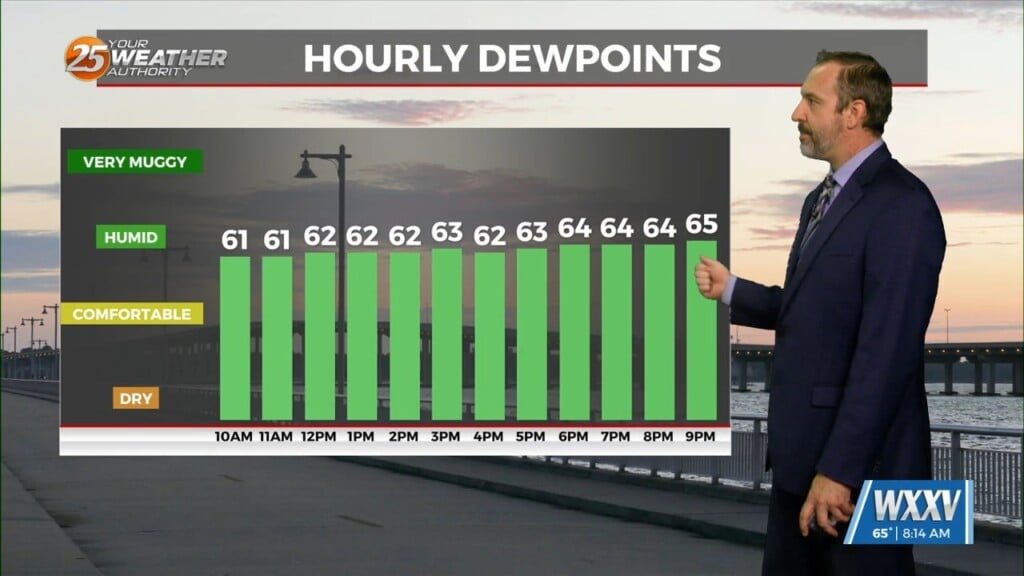
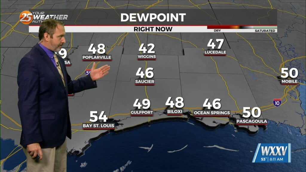
Hot and dry pattern continues as high-pressure extends SW to NE from the western Gulf of Mexico to the Great Lakes. This will easily support high temperatures around 90 degrees, with isolated locations approaching low/mid 90s. Relatively low dew-points in place will keep heat indices in check.
Upper level low currently in the western Atlantic will move eastward into the east coast of Florida and Georgia by the end of this forecast period. At the same time, an upper level disturbance will swing northeast across the High Plains. As a result of both of those systems moving to those regions, the upper ridge aloft will be getting squeezed north. Losing the subsidence from that high pressure will allow for some afternoon t-storms to start developing Thursday. Coverage starts out in the 20-40%, topping out over 50% Friday and Saturday. Looking at model sounding, cooler mid-levels could support small hail and high dew-point depression at the surface may result in gusty winds with the strongest storms of the day. Most, if not all storms, should stay sub-severe.
By Friday night, we’ll be in the midst of a “squeeze play” between the upper low over Georgia/Carolinas and the trough to our west over the Northern Plains. The low will be in the process of opening up and lifting northward as the trough to our west picks it up. We’re likely to have lingering t-storms across the area Friday evening as we lose surface heating. This pattern of morning showers and then isolated to scattered afternoon t-storms will continue through the weekend.


