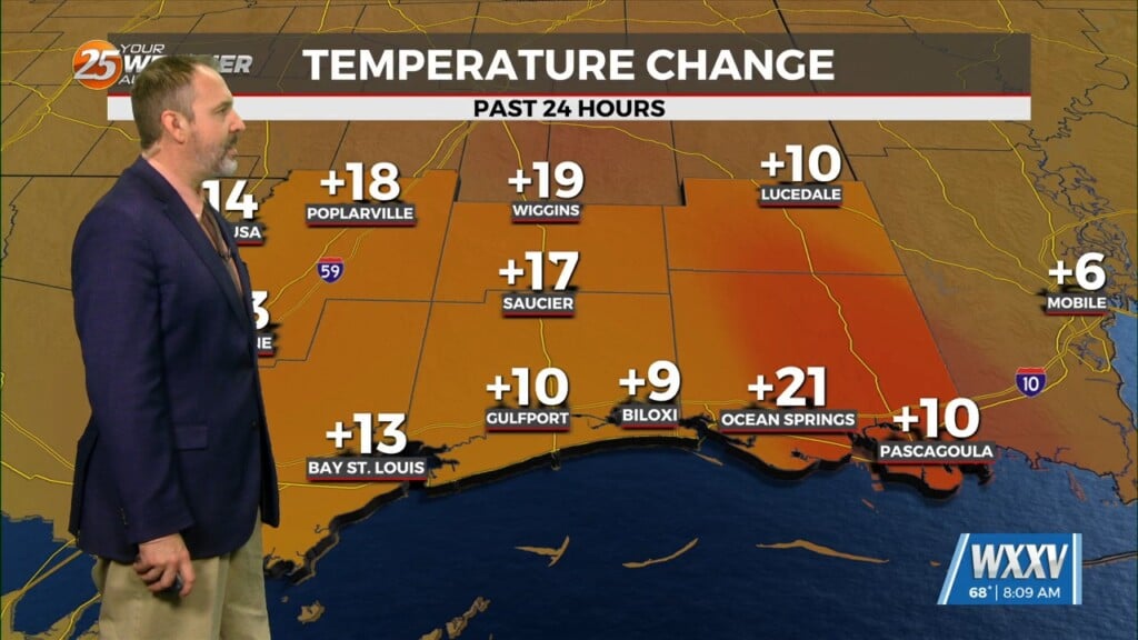
4/4 – Jeff Vorick’s “Very Warm” Tuesday Afternoon Forecast
Today will be much like yesterday with clearing skies and very warm temperatures. Overnight, clouds will build back in and light fog is possible. Things begin to change as a cold front approaches our area from the northwest. There is a 20% chance of rainfall tomorrow.
The front will stall in our region providing for increased cloud coverage and elevated rain chances. Thursday will provide for a 50-60% chance of rain especially later in the day. Friday will see more dry time but elevated rain chances are in the picture again.
Late Friday into Saturday looks to have the highest rainfall coverage due to energy moving along the boundary. A system forming along the tail end of the front will eventually push through, and out of the area. This will lead to dry time for Easter Sunday.


