4/26 – Jeff’s “Severe Weather Threat” Wednesday Night Forecast
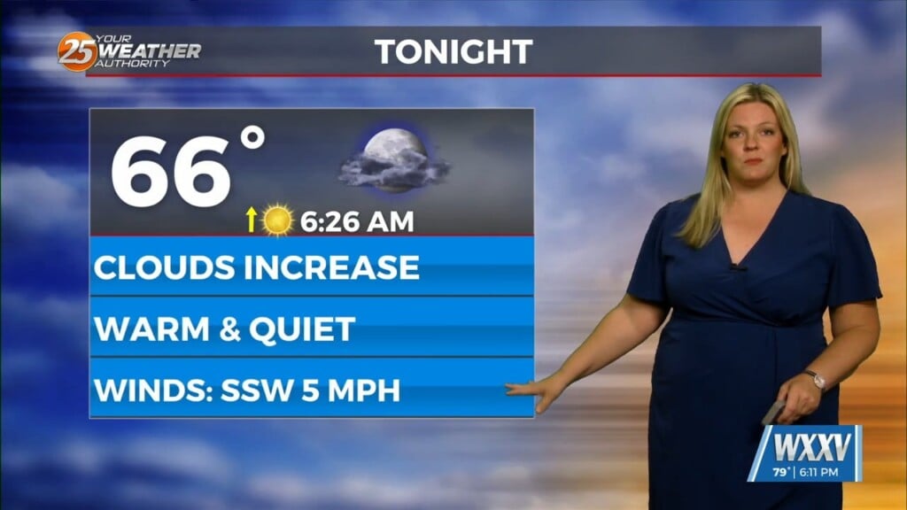
Cloud coverage will increase tonight ahead of a complex of thunderstorms that will move in. Expect rain to move in around daybreak tomorrow and persist through much of the day. Rain will taper off in the afternoon and some clearing can be expected towards the evening. There is a Level 2 of 5 threat for severe thunderstorms in place for our area tomorrow. Thunderstorms could bring the potential of strong winds and small hail. The bumpiest of activity will come from the line of thunderstorms.
Friday will be dry and much nicer following the passage of the cold front Thursday evening. Expect a few clouds to partly cloudy skies during the day with very warm temperatures. Into this weekend, energy will come together on the tail end of the aforementioned front. It will bring the potential for rounds of rainfall Saturday and Sunday. At this moment, the most confidence is in rain this Sunday. However, a batch of rain is in play for this Saturday.


