4/25 – The Chief’s “Warming Trend” Tuesday Morning Forecast
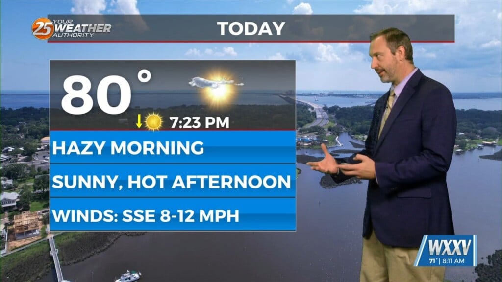
With a disturbance over the Great Lakes, and another disturbance over the northwest, we look to stay in zonal flow for the next couple of days, keeping a stalled front just off of the coast. This will cause conditions to be similar today, so patchy drizzle can’t completely be ruled out.
Starting on Wednesday, the aforementioned disturbance over the northwest is expected to eject over the southern plains. This will pick up the stalled front over the coast and turn it into a warm front as it surges northward ahead of the trough. At the least, temperatures will be noticeably warmer and more humid on Wednesday. Although moisture increases and temperatures heat up, the upper level support will likely be lacking, so only a slight chance of rain is expected on Wednesday as only showers will likely form if anything does.
Thursday gets a bit more interesting in terms of active weather. Aloft, guidance suggests that the disturbance that was previously mentioned deamplifies and stretches out over the southeast. One thing that is more confident is that there will be plenty of instability on Thursday. Models generally show dry mid-level air advecting off of the Mexican Plateau sometime Thursday morning or Thursday afternoon. The possibility for strong to sever storms will be possible with the main threat being winds and hail.
Heading out into the weekend, a stronger disturbance looks to dive down over the central plains, keeping us in zonal flow for a day before returning onshore flow ahead of the trough. Exact timing and placement of the ejection seems unclear as of now mainly due to is being so far out. These details will be ironed out in the coming days as we get closer to the weekend.


