4/25 – Jeff Vorick’s “Comfortable” Tuesday Evening Forecast
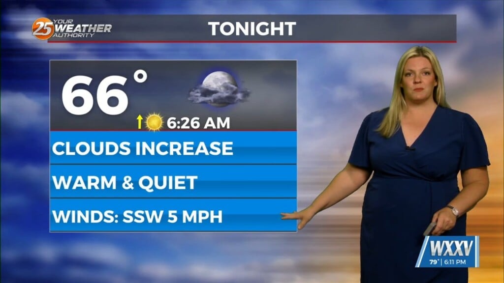
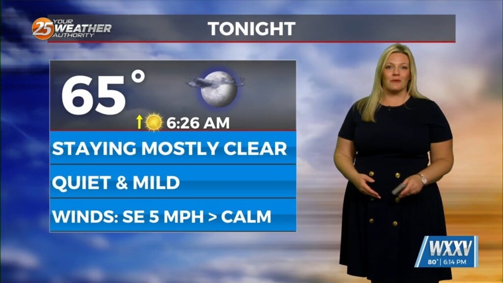
There was much more in the way of direct sunlight today! That combined with southerly flow developing provided for warmer temperatures across the area. The stationary front sagging farther south aided in less cloud coverage across our region. Southerly flow is not dominant yet so east-northeasterly winds will be in place overnight. It will be cool, not cold out the door tomorrow with on and off clouds tonight.
Tomorrow will be much like today with your Wednesday featuring on and off clouds and warmer temperatures due to southerly flow establishing. Moisture will be increasing in the low-levels and that trend will continue ahead of a system. That system will fire off activity to our west in Texas Wednesday, then the energy will push east. There are two scenarios worth mentioning.
The complex of thunderstorms could push east more slowly. There could be shower and thunderstorm activity that pops up ahead of it. If the thunderstorms move quicker, that would provide for a quicker round of activity. With favorable ingredients in place, all modes of severe weather are on the table including large hail, damaging winds, flooding rain, and isolated tornadic activity. There is only low-end potential at the moment but it is still worth noting.
The back end of the thunderstorms followed by a cold front will provide for a brief dry time Friday. Temperatures will be quite warm much of the rest of this week into the weekend. For the weekend, there is a possible cold front that will swing through the area Saturday into Sunday. Rain chances are in place but details still need to be ironed out.


