4/20 – Jeff Vorick’s “Changes Ahead” Thursday Evening Forecast
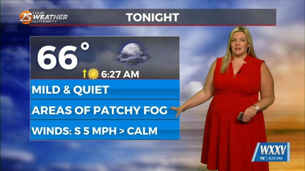
Yet another warm and quiet day across our area as our pattern is in transition. Humidity is on the increase ahead of a storm system. Clouds will increase overnight and temperatures will remain mild with 60s for the morning. There is the potential for fog to develop in some spots.
Tomorrow will be more active across South Mississippi. A system draping a cold front will move into the picture. A complex of thunderstorms will form to our west, and track to its east into Friday morning.
It will provide for elevated rain chances from mid-morning until the evening. Then, the cold front will move through our area overnight before daybreak Saturday. Rain chances of 50% can be expected, with rainfall more likely with the initial round.
The cold front will provide for drier time this weekend with a lovely day for Saturday. Northwesterly flow builds into next week and that will provide for elevated rain chances next week.


