4/18 – Jeff Vorick’s “Moderating Pattern” Tuesday Evening Forecast
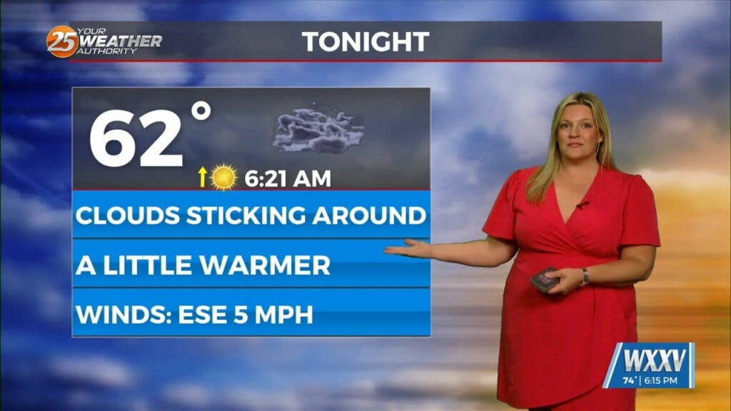
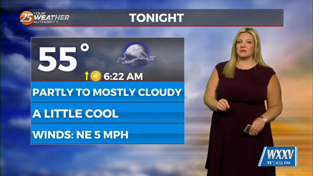
Cloud coverage of the mid-level and upper-level variety has moved in thanks to a disturbance to our west. Clouds and increasing moisture via southerly flow will help make it less chilly tomorrow morning. Expect mostly cloudy skies to persist tonight and low temperatures in the upper-50s.
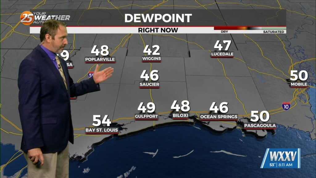
Skies will clear out tomorrow as the disturbance will dissipate under the influence of strong high pressure. Winds will also become breezy over the next couple of days with southeasterly flow. Humidity will be on the increase and temperatures will moderate as well. A system to our west will begin to move into the region towards the latter half of the week.
It will drape a cold front across the South. Also, a secondary piece of energy on the tail end of the main cold front will ride along the Gulf Coast. The combination of the two will lead to increased rain chances Friday.
There is the potential for a couple of different rounds of rainfall with the second batch coming along the cold front. Also, the threat for severe weather or flooding cannot be ruled out. The cold front will push through early Saturday leading to clearer skies for the weekend.


