3/6 – Jeff’s “Fog/Looking Ahead” Wednesday Night Forecast
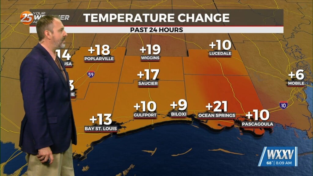
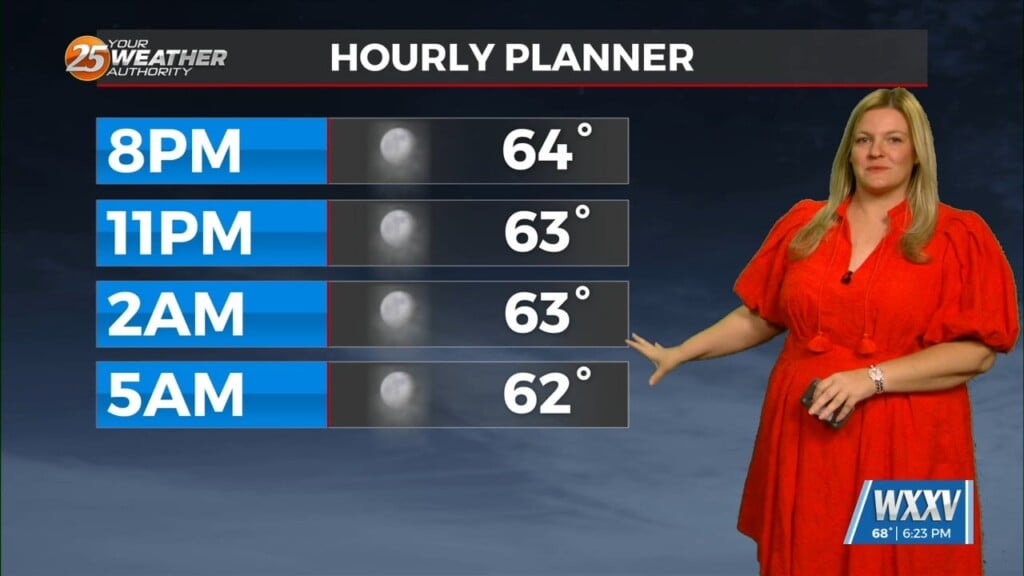
Fog will be primed to form ahead of your Thursday morning. Be sure to take extra care if you have an early morning commute! Fog and early-day cloud cover will dissipate rapidly following sunrise and the day will be quite warm. Partly cloudy skies can be expected for the afternoon and temperatures will reach well into the 70s. Southerly winds will help increase humidity ahead of an approaching storm system for the end of the week.
Friday will be the day the system makes it into our area. The Mississippi Coast is outlined in a Level 2 of 5 threat for severe thunderstorms due to favorable dynamics and energy in the atmosphere. Rain-free conditions for the first part of Friday give way to isolated showers and thunderstorms popping up during the afternoon. Coverage of rain, and the potential for thunderstorms capable of damaging wind gusts along with isolated spin-ups will peak Friday evening through the wee hours of Saturday morning. The cold front clears the area early Saturday bringing a cooler stretch.


