3/5 – Jeff’s “Dense Fog/Warm Mid-Week” Tuesday Night Forecast
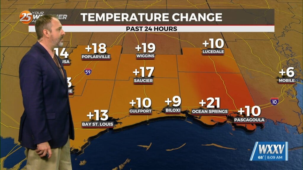
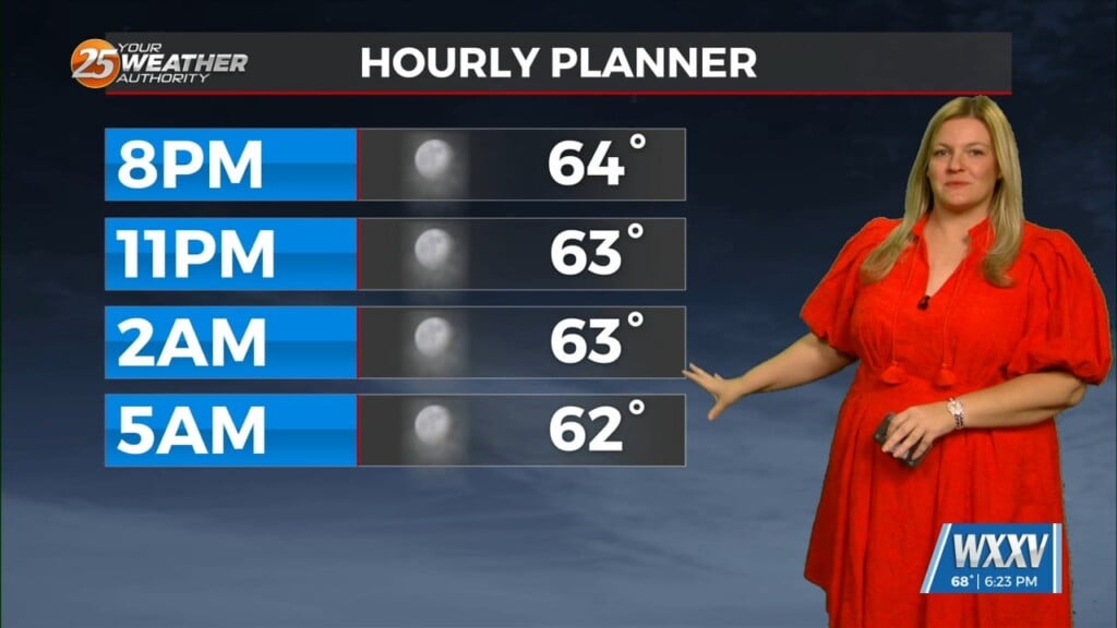
Your Wednesday will likely start with reduced visibility in the form of dense fog. Any fog and cloud coverage will dissipate throughout the day. It will get quite warm with temperatures reaching 80 degrees for some of you. Sunshine makes a return for Wednesday afternoon. Warmth will continue into Thursday with partly cloudy skies expected. The end of this week will bring a dynamic storm system to our region.
Our area has been outlined with a risk for severe thunderstorms. Some favorable dynamics, ample wind energy, moisture, and instability could provide for thunderstorms capable of damaging wind gusts, hail, and isolated tornadoes. Finer details with exact timing and the overall forecast need to come together with time but expect the potential for rain/thunderstorms from midday Friday – early Saturday. A cold front will make it through the region bringing a cool-down this weekend.


