3/5 – Jeff Vorick’s “Very Warm Conditions Return” Sunday Night Forecast
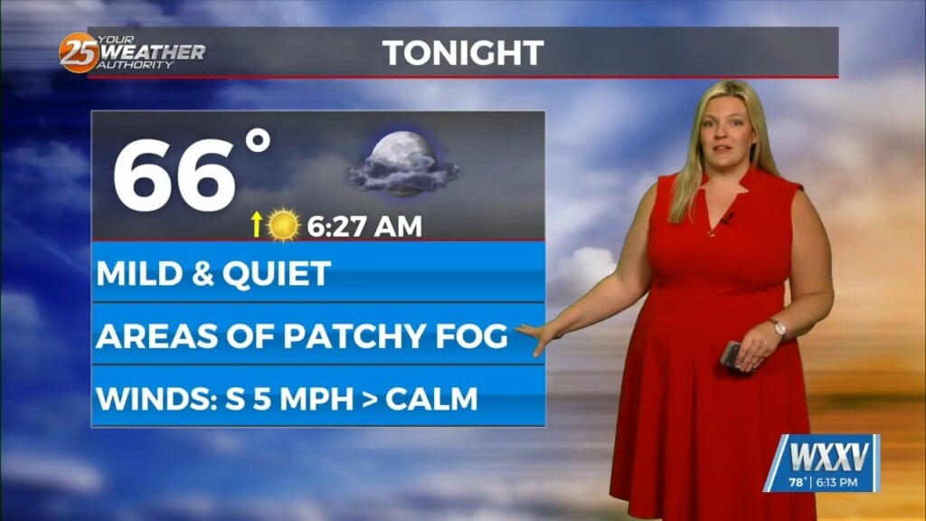
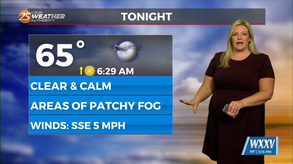
After a slight, brief cool-down over the weekend, the pattern will return to a much warmer one. Moisture will increase overnight thanks to a stationary front moving into our area from the south. Clouds will increase towards daybreak. Not only that, but fog has the potential to develop across our area.
Monday will be a very warm one across South Mississippi. The aforementioned front will be dying out thanks to high pressure being the dominant factor shaping the pattern. Tomorrow afternoon will bring a 20-30% chance of rainfall. Humidity will remain elevated to start the first full week of March.
Well-above seasonal average temperatures will be in place through much of the workweek. Attention will need to be paid to the next cold front of note towards the end of this week. It will bring elevated rain chances into the weekend. There is the potential for below average temperatures towards the middle of the month.


