3/29 – Jeff Vorick’s “Cool & Dry Period” Wednesday Afternoon Forecast
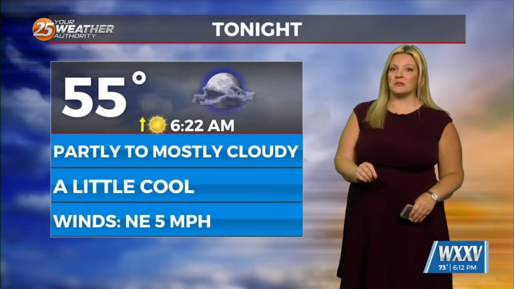
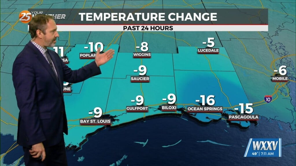
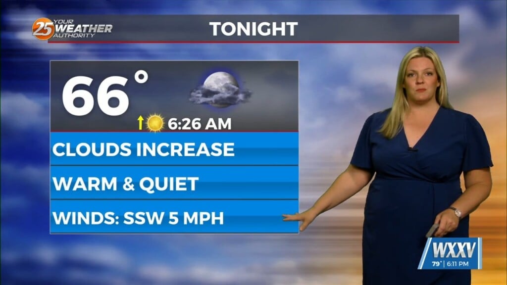
A disturbance to the west of our area is providing for increased cloud coverage. High pressure will help weaken it through the rest of today. Clouds will clear out this evening and elevated winds will subside. It will be cool-to-cold again overnight.
Return flow sets up off the Gulf of Mexico and warmth and humidity will be back to close out the week. A storm system will be exiting the Four Corners region at the end of this week. It will track to its northeast well away from our area. It will drape a cold front that will make it to our area.
The cold front will bring elevated shower and thunderstorm chances for Saturday. Sunday will be cooler and drier but next week looks to be warm and active.


