3/20 – Jeff Vorick’s “Less Cold/Rain Ahead” Wednesday Evening Forecast
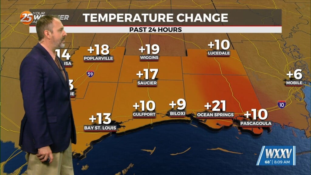
High pressure has scooted off to the east which is leading to return flow. Expect temperatures to be less cold overnight and skies to be partly cloudy at times. Clouds will increase ahead of daybreak and temperatures will be in the mid-to-upper 40s. The end of the week brings a more unsettled stretch to the Mississippi Coast as an area of low pressure will form to our west. It will track across our region through the end of the week. Timing is a tad tricky but there is a general idea of when rounds of rain chances will be in the area.
Isolated rain chances begin Thursday afternoon with thunderstorm chances remaining limited. Expect coverage to peak during portions of Thursday evening into the overnight hours. That being said, it looks like the best rain chances remain south. Some dry time arrives for the pre-dawn hours Friday. Low pressure will make its closest approach to South Mississippi during the day Friday so expect isolated-to-scattered showers and thunderstorms at times. Drier weather arrives for the weekend with a nice stretch of temperatures and low humidity.


