3/2 – Meteorologist Rob Martin’s “continued warming trend” Wednesday evening forecast.
Southwest flow aloft will slowly break down leading to zonal flow by tonight as a weak disturbance to our west continues to fill in. Thursday, an area of high pressure will strengthen across west TX and extend north over the Continental Divide and into western Canada. This pattern will continue to slowly slide east and amplify. At the surface not too much will change till Friday, with no rain expected at a through the workweek.
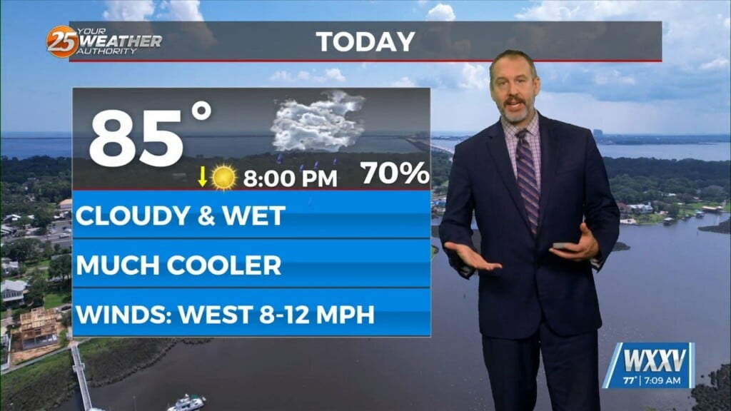
So, after one more chilly Wednesday night, we continue a warming trend through the week. As flow turns southeasterly from the gulf, some fog could return as early as Friday morning, but much more likely for the weekend early hours.
The biggest forecast problem again is more of a fire weather concern as min RH values will once again range from the upper teens to near 30%. Luckily winds will remain light which will keep the fire danger on the low side.
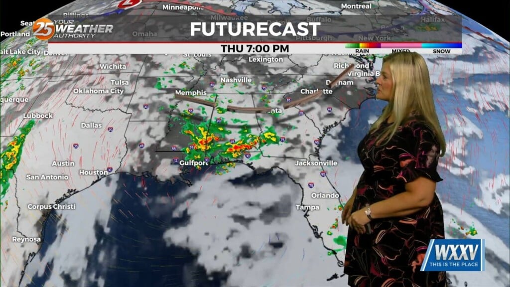
This weekend will bring a low end chance for a few showers and possibly a very isolated weak thunderstorm will develop during the afternoon hours when peak heating occurs. Rain chances will increase Monday with a cold front approaching from the west.

Leave a Reply