2/29 – Jeff Vorick’s “Unsettled Stretch” Thursday Evening Forecast
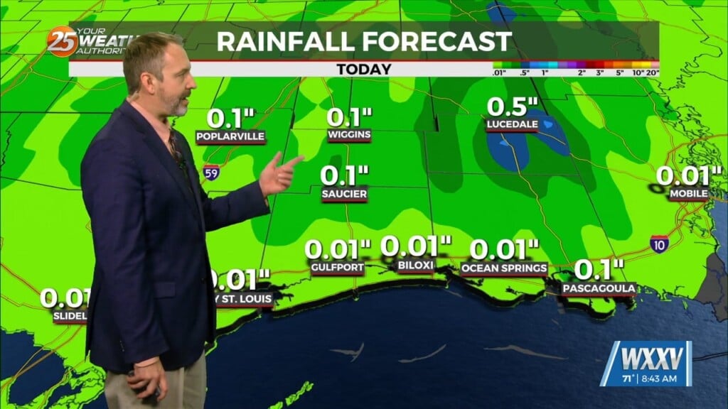
Cloudy skies remain into tonight and winds will begin to pick up. Moisture/humidity will be on the upswing ahead of the first of several disturbances that will move through the area. A batch of rain with embedded thunderstorms moves in early Friday morning and will persist through the first half of the day. Rain exits and conditions improve through the afternoon Friday but winds will remain breezy.
A mild stretch of temperatures will be around for the next several days with mornings in the 50s and 60s, and afternoons reaching the 70s. Isolated showers will be around for first portion of your Saturday, while there will be a 20% chance of showers Sunday. An unsettled pattern sticks around into next week. Several disturbances will be forming along a stalled frontal boundary while a warm/moist environment remains in the area. Monday brings a 40% chance of showers and thunderstorms while Tuesday could bring a washout at times.


